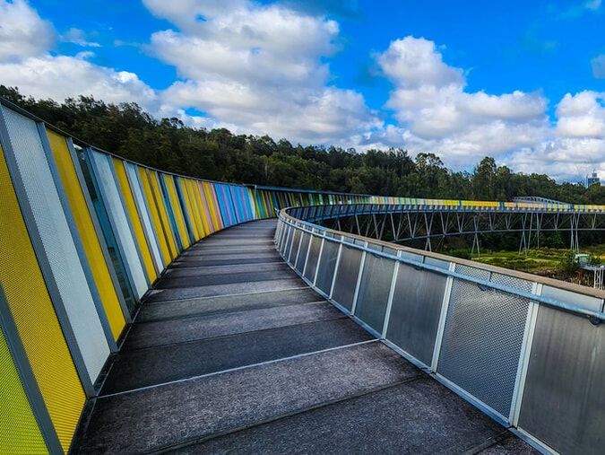
Would you have imagined shipwrecks in the heart of Sydney? I never did until I stumbled upon them quite recently. There are five (5) shipwrecks in Sydney Olympic Park, quietly sitting on the Parramatta River, that can be visually accessed via an easy walk through the Badu Mangroves! This itinerary details what these shipwrecks are and how you can access them.
Note: Out of the 5 shipwrecks, one is an unnamed shipwreck so most of the people know only the 4 shipwrecks in the region that are officially recognised.
Explore our itineraries hassle-free with these recommended services!
Car Rental
Getting there
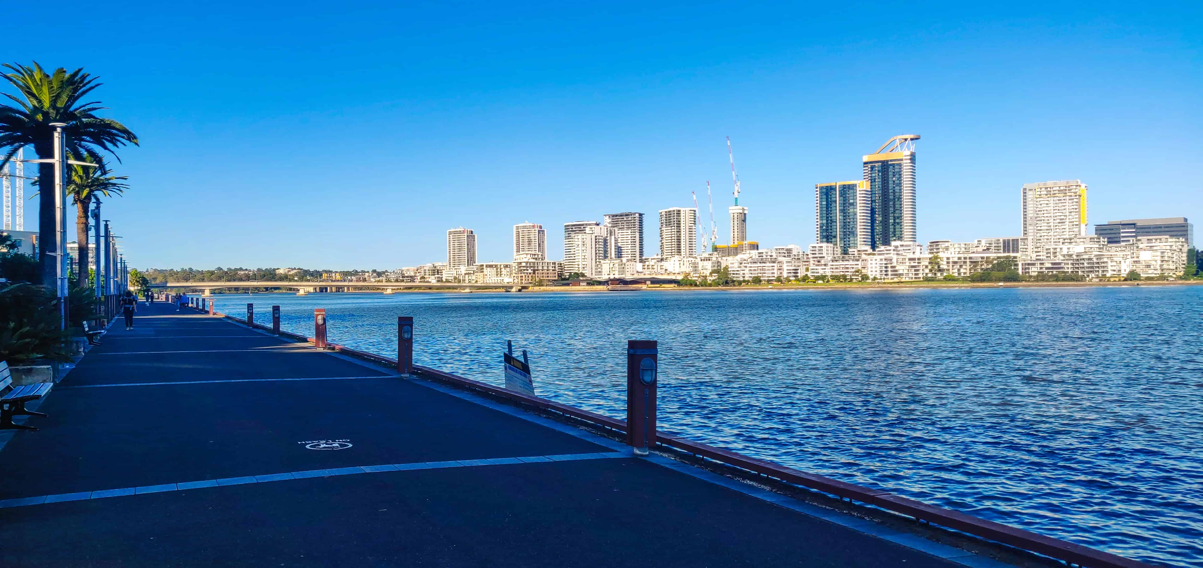
Sydney Olympic Park is located 13 kilometres west of Sydney and is a 30 minutes’ drive from the CBD. This suburb is also known by the names Olympic Park or Homebush Bay. The shipwreck circuit loop walk commences and terminates at the Badu Mangroves carpark, located within Bicentennial Park in Sydney Olympic Park.
Note: The closest toilet block is located near Sydney Olympic Park Education Centre, around 400m from the Badu Mangroves carpark.
Provided below is a map of the walk.
| Sydney Olympic Park Shipwreck Walk - Key Facts | |
|---|---|
| Trailhead | Badu Mangroves Carpark |
| Trail Type | Loop |
| Distance | 7.48km |
| Duration | 2.5 - 3.5 hours |
| Accumulated Elevation Gain | 66m |
| Difficulty | Grade 2 |
Shipwrecks #1 & #2 - HMAS Karangi and SS Heroic
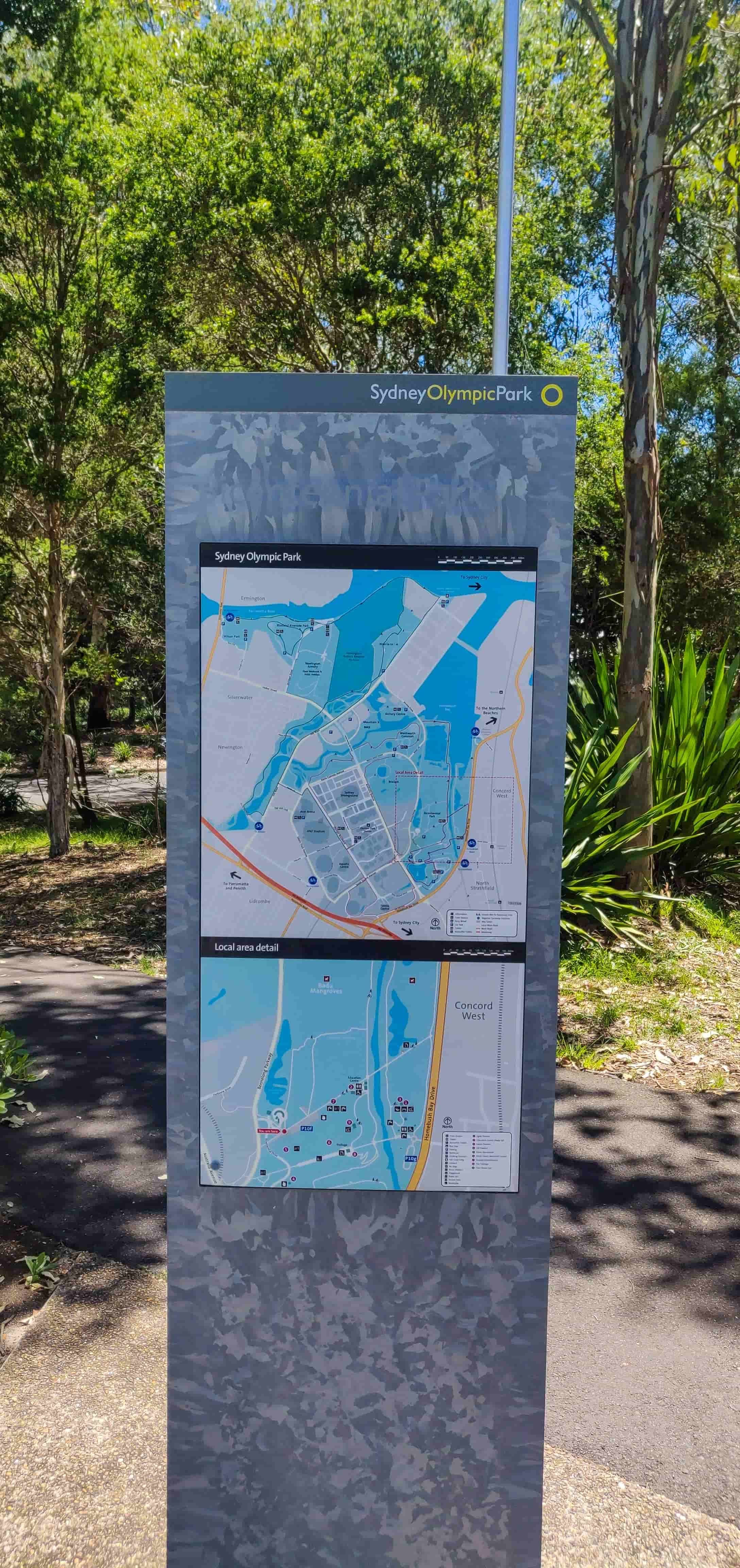
After parking your car, head to the carpark entrance (western end of the carpark) and you’ll see the local area map posted as shown below. This is where you commence the walk.
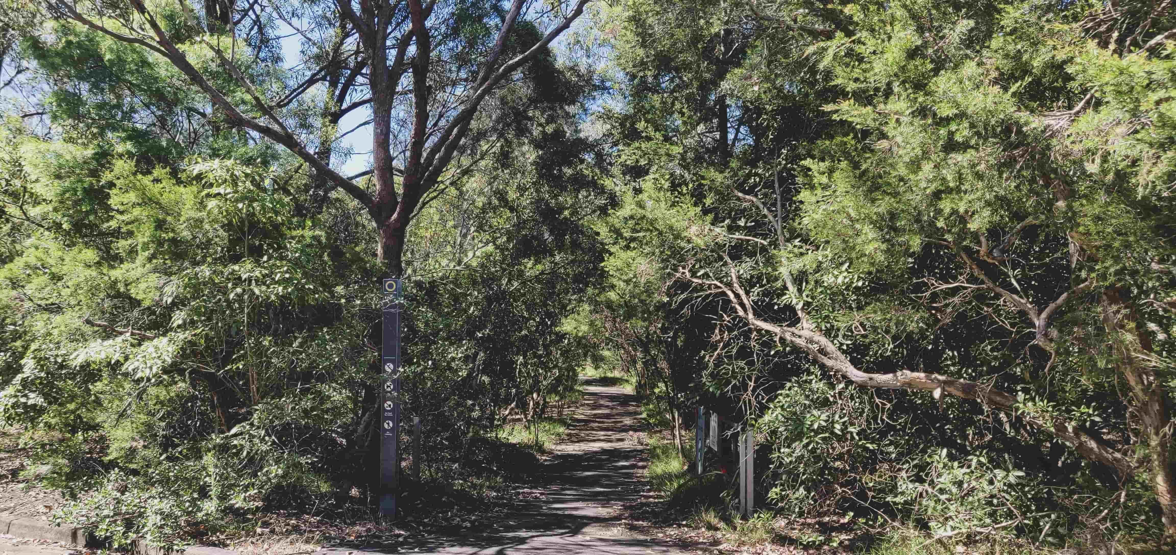
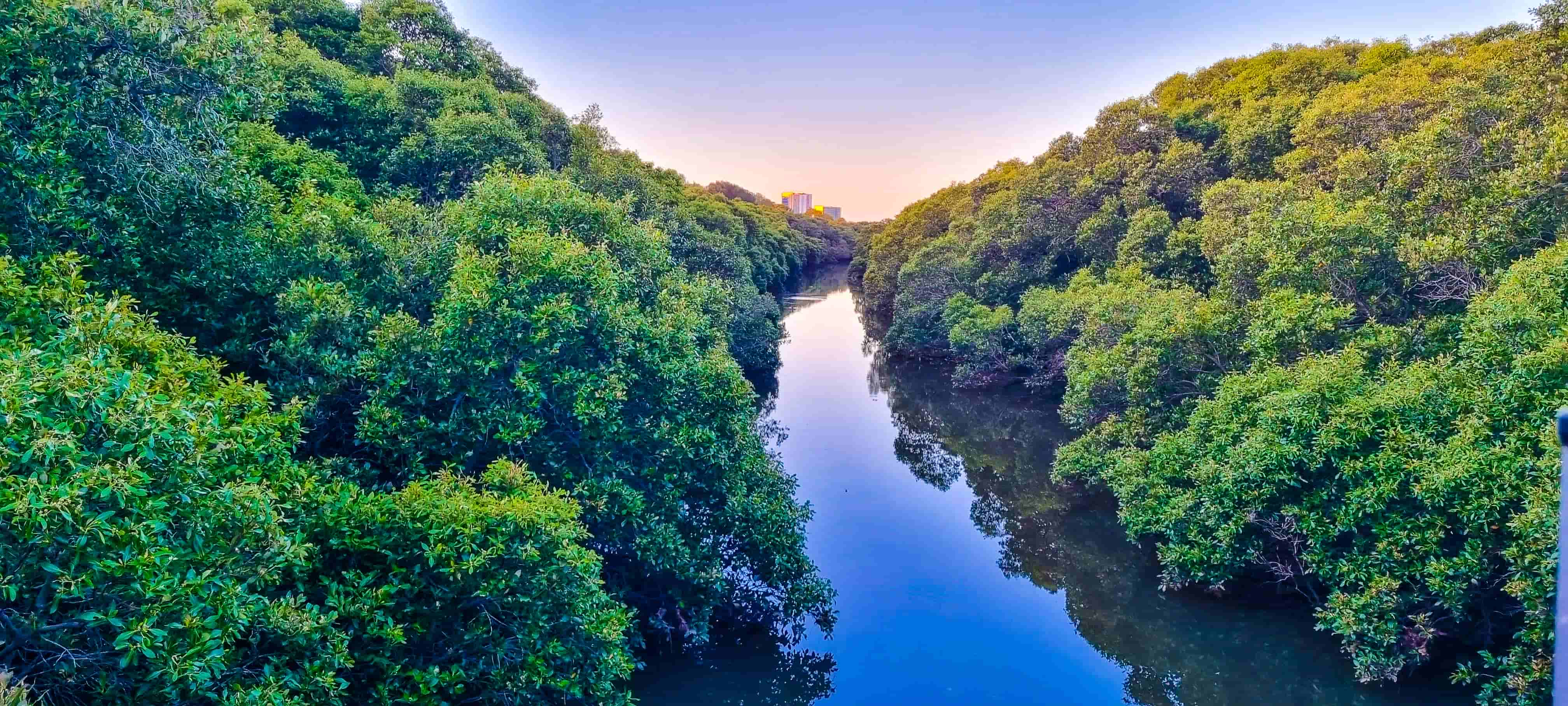
Take the trail to your right and you will soon enter Badu Mangroves. The Mangroves span across 48 hectares and is likely to be in existence for around 15,000 years.
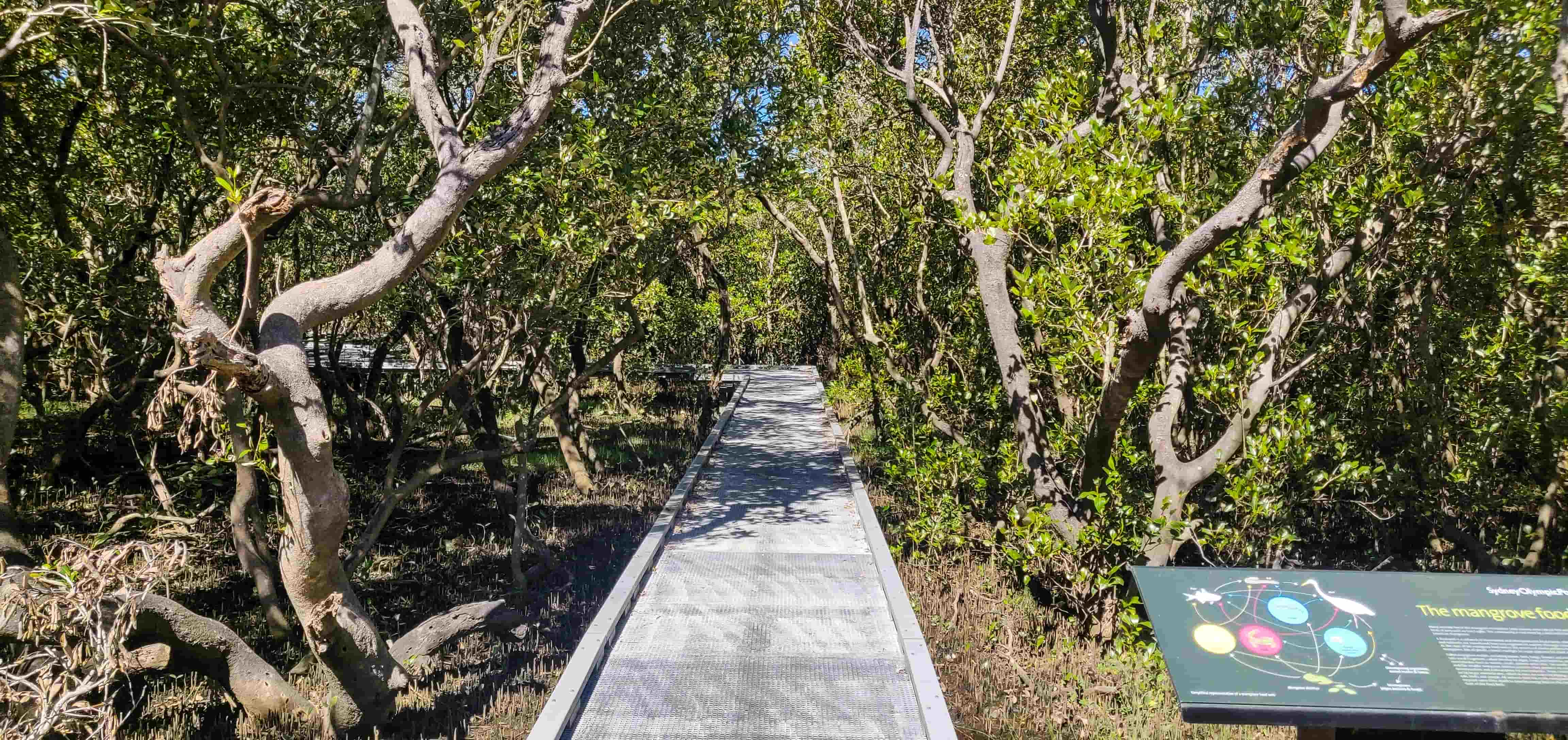
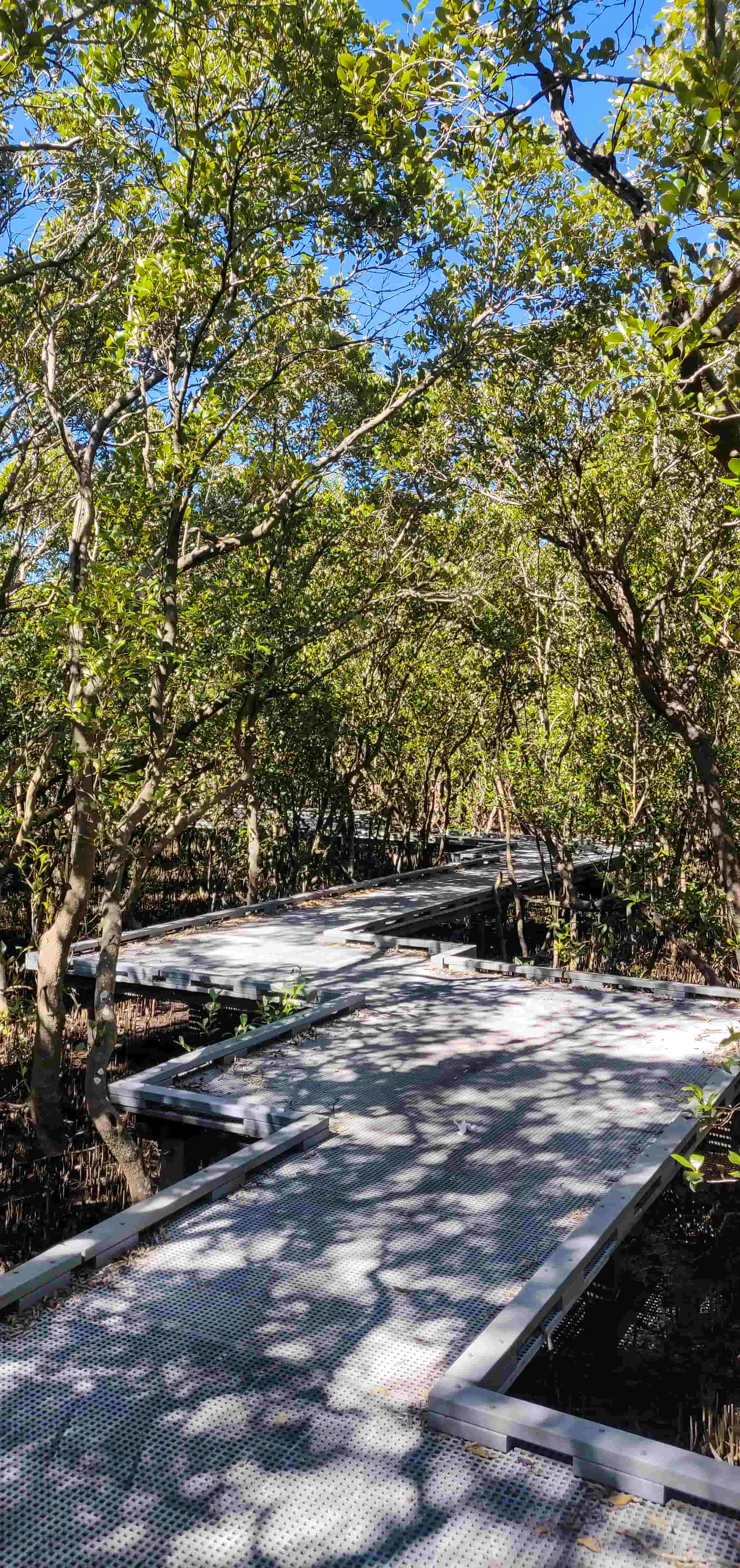
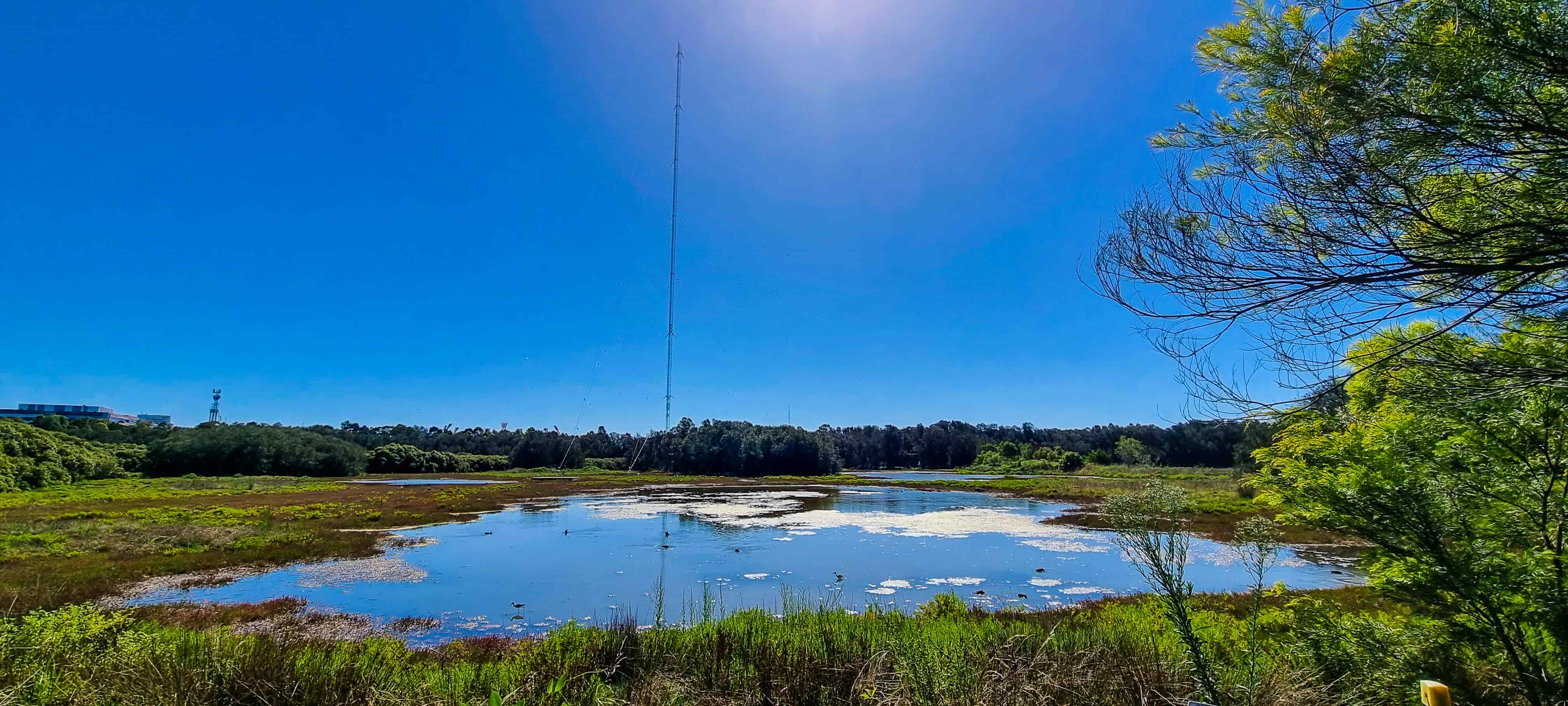
Continue until the end of the boardwalk when you’ll arrive at the coastal Saltmarsh and then the Waterbird Refuge on your left. The Waterbird Refuge provides habitat for over 55 species of native birds, including internationally protected migratory shorebirds, making it a birdwatching paradise.
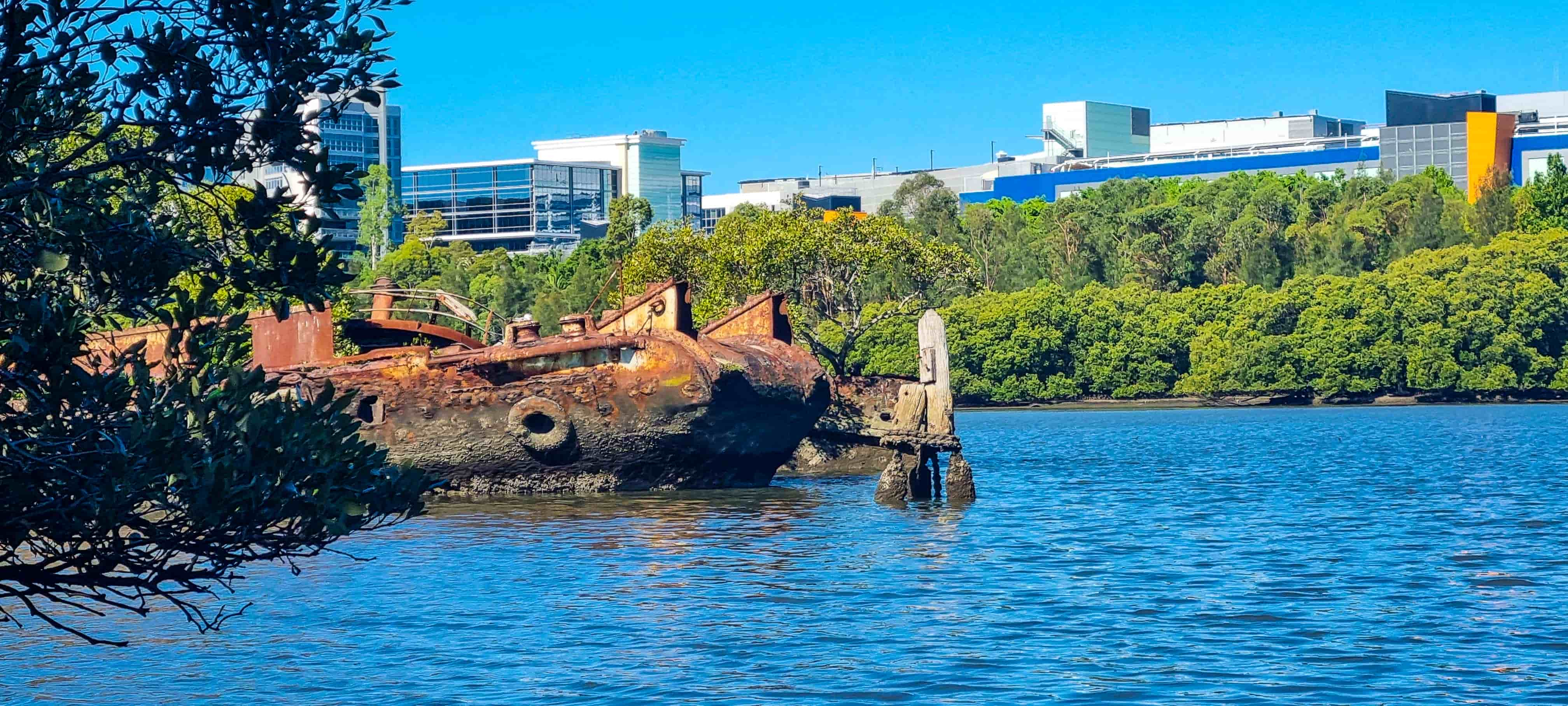
Less than 200m from the Waterbird Refuge, you’ll arrive at your first shipwreck viewing area on your right where you can see a bench and a post explaining the first two of the five shipwrecks, HMAS Karangi and SS Heroic. Walk down the rough walking path beside the bench and get closer to the water to have a clear view of the shipwrecks. The shipwreck closest to the shore is HMAS Karangi and SS Heroic lies just behind it.

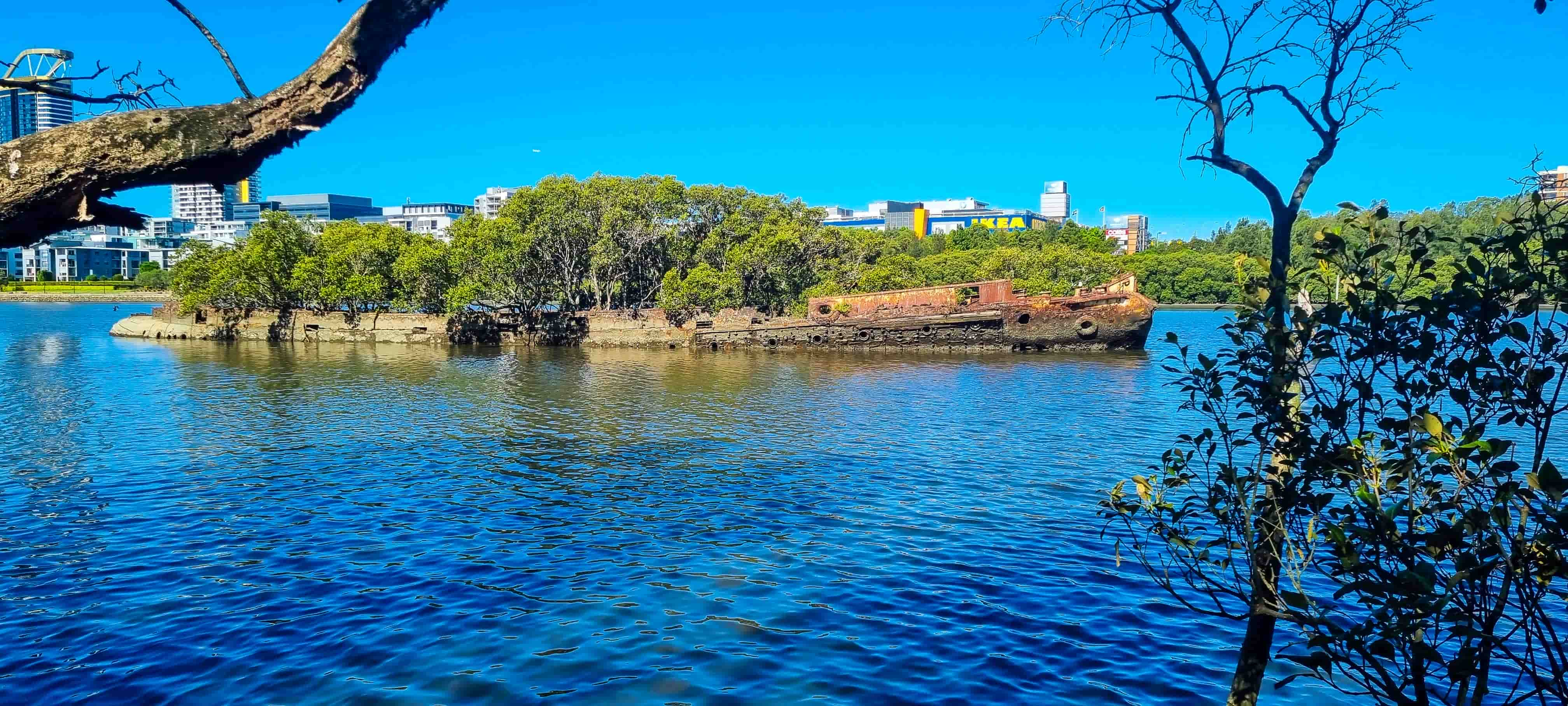
Although this is the official viewing area of the shipwrecks, to get a more clear view of HMAS Karangi, get onto the walking trail and continue for another 50m where you will see a walking path on your right from where HMAS Karangi will be clearly and fully visible.
Historic Shipwrecks Program
Before we move further, let’s understand a little bit about the Australian Historic Shipwrecks Program. Since 1983, The Australian Government has been working collaboratively with the states, territories and Norfolk Island government agencies through the Historic Shipwrecks Program, to protect and conserve Australia’s underwater heritage to ensure our shared heritage can be enjoyed now and by future generations. More information about the Historic Shipwrecks Program can be found in the program’s official website. The Australasian Underwater Cultural Heritage Database (AUCHD) contains historical and environmental information about shipwrecks, sunken aircraft and other types of underwater heritage sites located in the Oceania and Southeast Asian regions. The database can be accessed here and a quick search of the database reveals the following about the shipwrecks in Homebush Bay.
| HMAS Karangi | SS Heroic | SS Mortlake Bank | SS Ayrfield |
|---|---|---|---|
| A steel boom defence vessel of 971 tons, 54.25m, built at Cockatoo Docks & Engineering Company Ltd, NSW in 1941 (Penant P.282). Modelled on the British 'Bar Class' of boom defence vessels, the Karangi had sister ships Kangaroo and Koala. Karangi assisted in laying the defences of Darwin and was involved in the Japanese attack there in 1942. It was also present in the Monte Bello Islands during British Atomic tests in 1952. Removed from Navy lists and partially scrapped in 1965-6, the vessel was abandoned in Homebush Bay at an unknown time. There is some conjecture whether the Homebush Bay remains are indeed Karangi, or possibly Kookaburra or Kangaroo. | A steel tugboat built at South Shields, United Kingdom in 1909. The builder was J.P. Rennoldson & Sons, and the steamer had a tonnage of 268 tons and was 38.10m in length. Registered in Sydney as folio 25 of 1909, with Official Number 125198, Heroic was built for Thomas Fenwick of Sydney, and at one stage, towed an ex-French three-masted warship Eure to Sydney from Noumea for breaking-up in 1911. Commandeered by the British Admiralty during World War One and renamed Epic, it was engaged in rescue work off the Scilly Isles. Back home in 1919, the Heroic rescued the freighter Allara when torpedoed off Sydney during World War Two. It is unclear when Heroic was hulked at Homebush Bay although about 1973, it was sold to J.B. Mullins who intended to rename the vessel Bustler II. The remains lie in Homebush Bay. | The Mortlake Bank rests today in the shallow waters of Homebush Bay, off the Parramatta River. The steel screw steamer was abandoned in the bay awaiting cutting up for scrap at the breakers yard. A steel single screw steam collier, 1371 tons gross and 71.65 in length, built at Walsend-on-Tyne, United Kingdom in 1924. Powered by a triple expansion direct acting engine, the steamer was registered at Sydney, folio 12 of 1937, Official No. 147708. The Mortlake Bank was bought by McIllwraith McEacharn Ltd. of Melbourne in 1934 and operated on the famous sixty-miler route between Hexham and Mortlake for the Australian Gas Light Company. The vessel's registry was closed on 4 October 1972 and the hull said to have been broken up. This appears to have been incomplete and one of the hulks is thought to represent the vessel. | The Ayrfield was a steel single screw steam collier, 1140 tons. 70.10m in length, built at Grangemouth by the Grangemouth Dockyard Company, United Kingdom in 1911. Registered at Sydney, folio 6 of 1945 - formerly folio 1 of 1912, Official No. 131496. Powered by a vertical direct acting triple expansion engine, the vessel was launched as SS Corrimal. One time purchased by the Commonwealth Government and used to transport supplies to American troops in the Pacific, it was sold again to Bitumen and Oil Refineries Australia Ltd in 1950. Soon after in 1951 the vessel was purchased by the Miller Steamship Company Ltd. who renamed it Ayrfield. From this time it operated as a collier on the sixty-miler run between Newcastle and Sydney. The vessel's registry was cancelled on 6 October 1972 and the hulk was partially broken up at Homebush Bay. |
Shipwreck #3 - An Unnamed Shipwreck
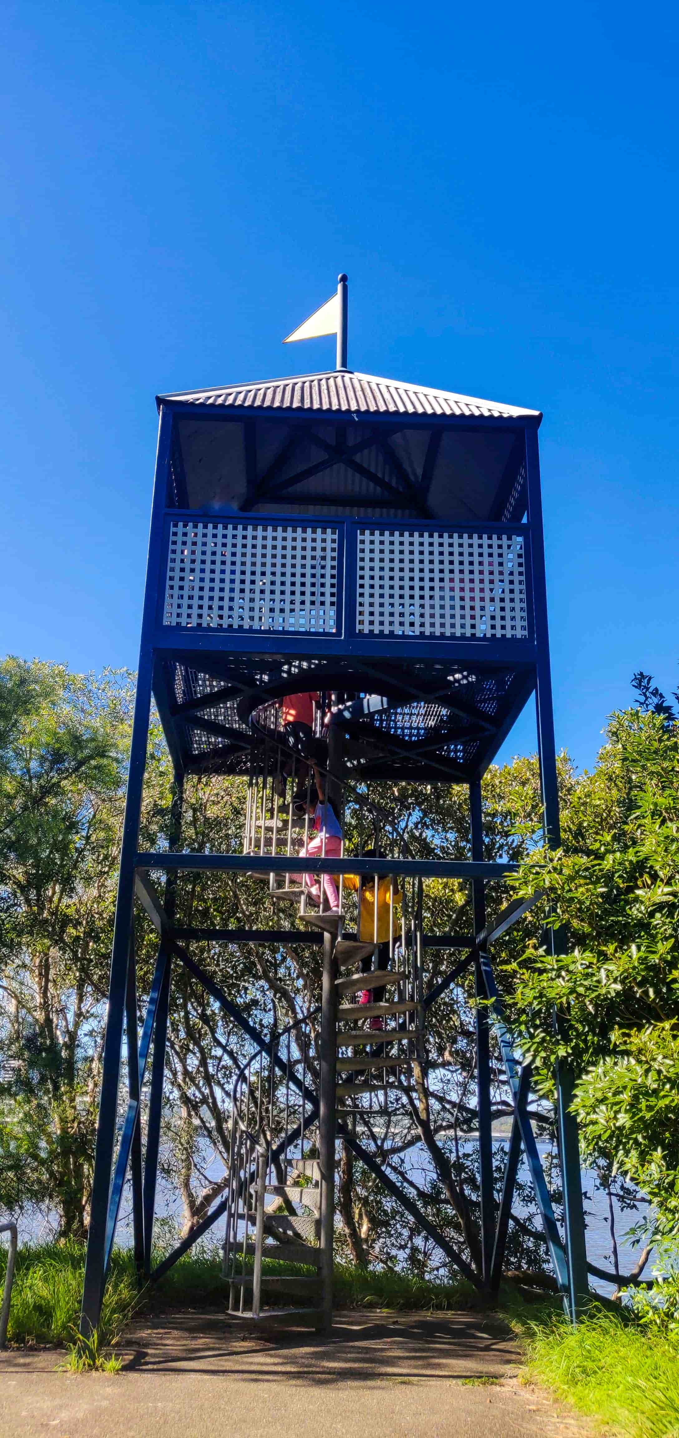
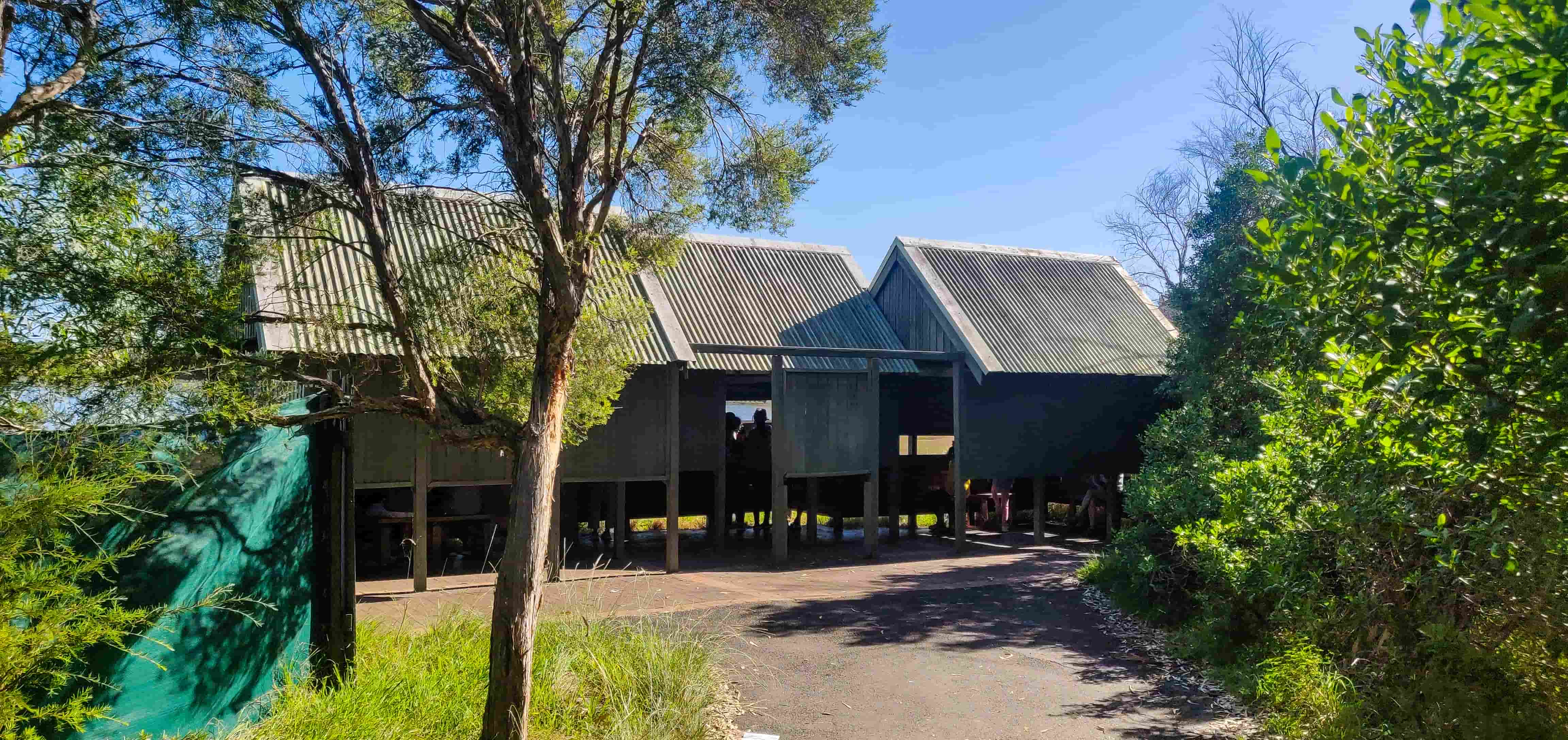
Continue on the walking trail until you reach the Hornswaggle Observation Tower and subsequently the Bird Hide to your left.
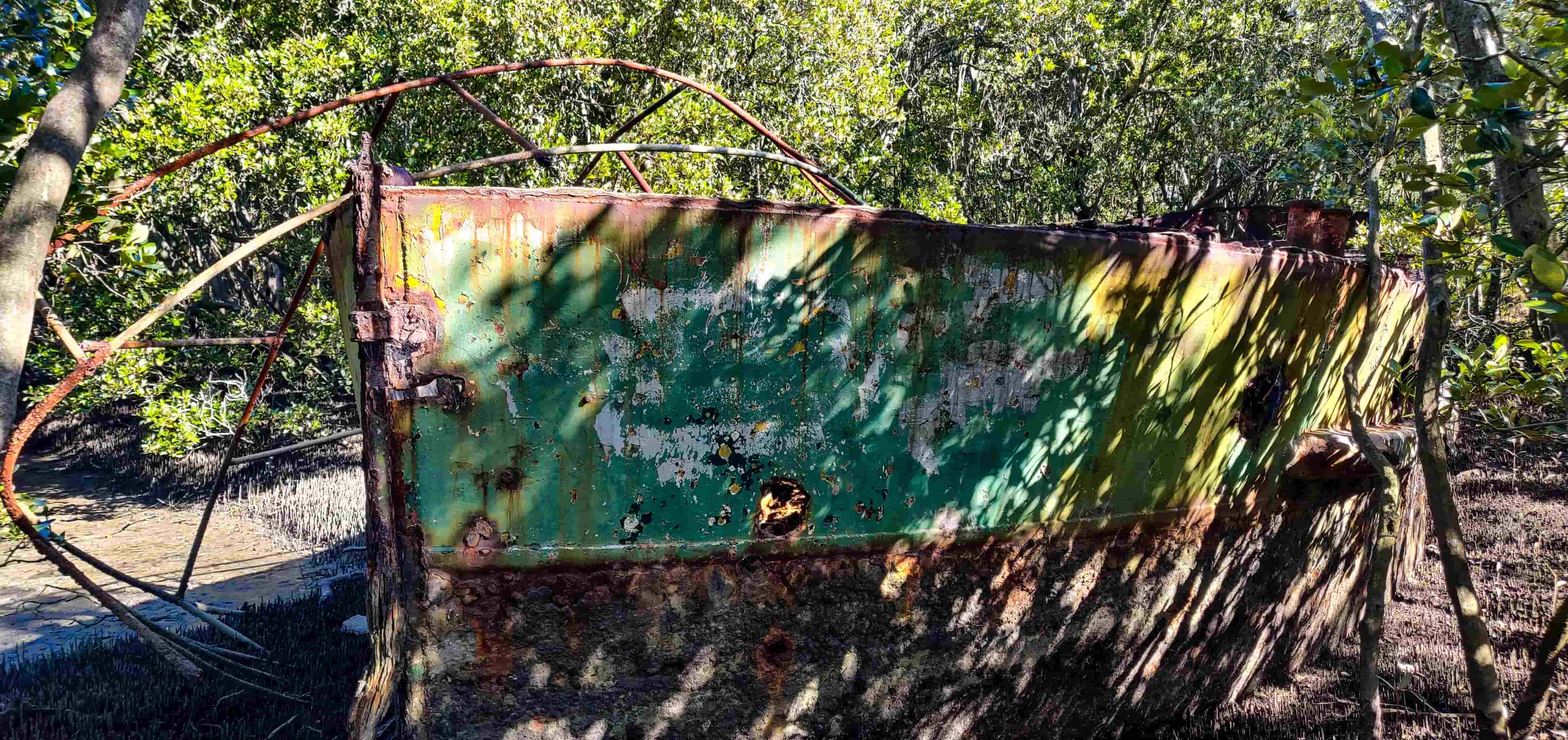
In around 130m from the Bird Hide, turn on the pathway to your right and you will come across another shipwreck on your right. This is an unnamed shipwreck however this is the closest to the shore of all the shipwrecks in Homebush Bay.
Shipwrecks #4 & #5 - SS Ayrfield and SS Mortlake Bank
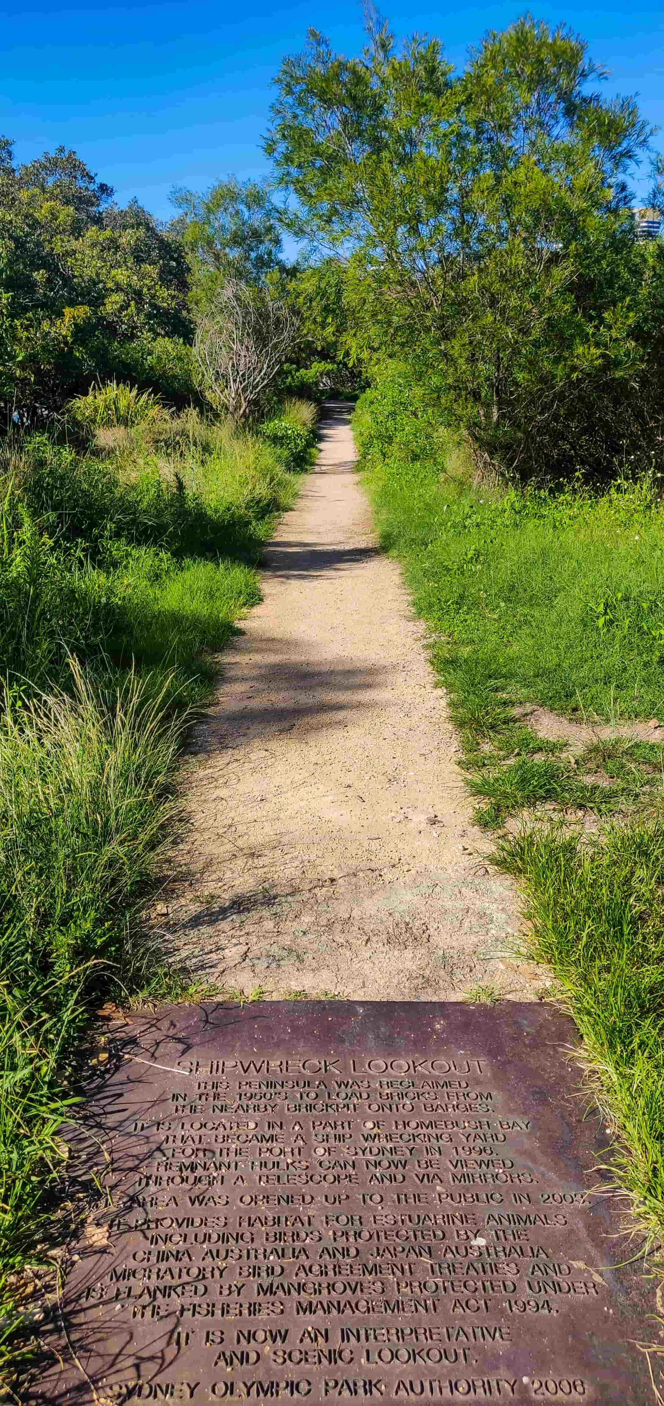
Continue on to the end of the pathway to arrive at the Shipwreck Lookout and from here, you can see the remains of SS Ayrfield and SS Mortlake Bank.
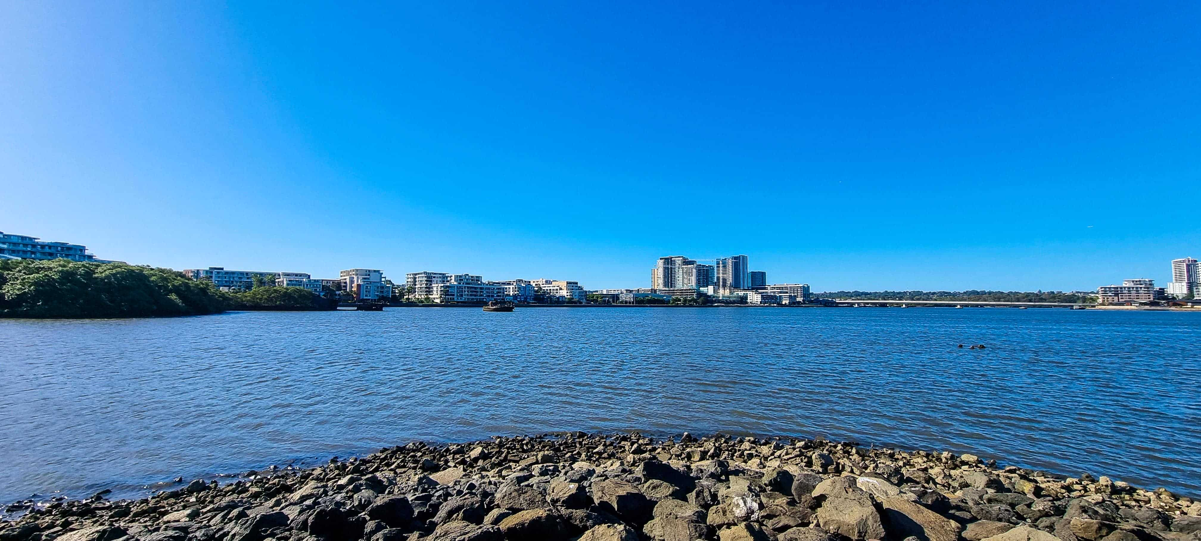
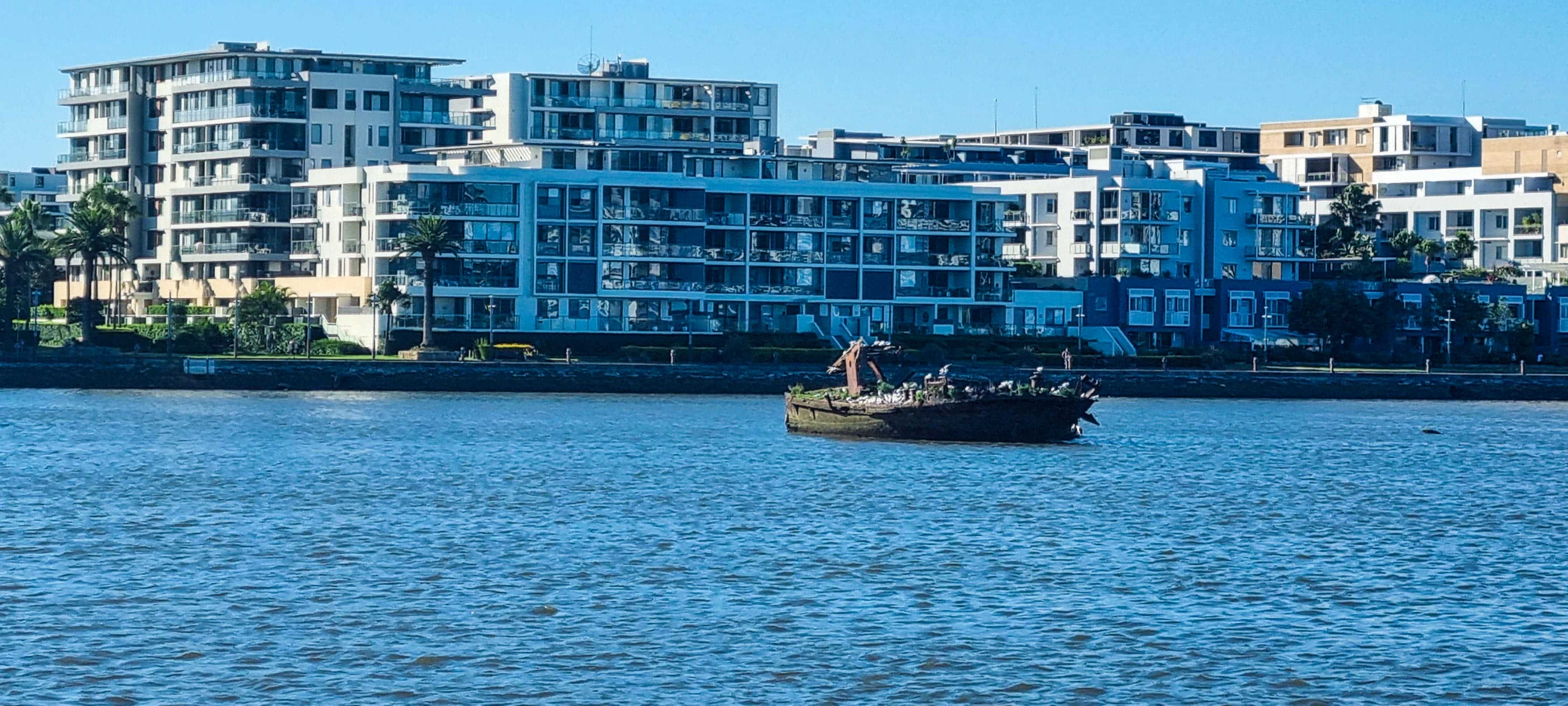
Now, to get a much closer look at SS Ayrfield and SS Mortlake Bank, you will need to go back on the pathway, turn right and continue on the walking trail (Parklands Cct) until you reach Bennelong Pkwy. Cross the road here, turn right and continue on the Bennelong Pkwy for a few metres until you cross Haslams Creek bridge. Now, at the end of the bridge, follow the map provided above to cross the road again and walk along the residential pathway until you see the SS Ayrfield shipwreck again but much closer to the banks this time.
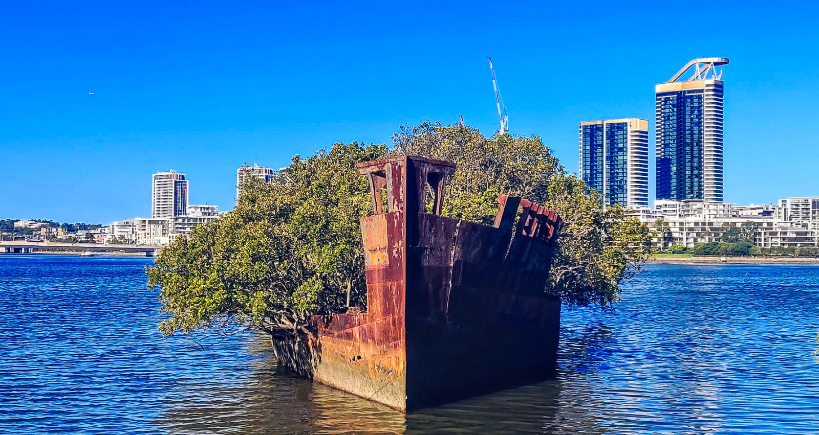
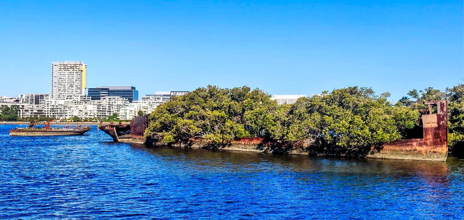
That concludes our shipwrecks visit for the day! If you were only after the shipwrecks, you can now go back to the carpark via the same path you reached here (distance: 2.3 km), which is also the shortest route to reach the carpark. However, if you would like to make this walk a little more interesting, then follow the map provided above to do a circuit loop around Wentworth Point and you won’t regret it!
If you have a full day to explore Sydney Olympic Park, don't miss our must-see post below!
Love our itinerary? Excited to visit the shipwrecks of Sydney Olympic Park? Book your accommodation via Booking.com below at cheaper prices!
This post may contain affiliate links. This means that, at no additional cost to you, we may earn a small commission if you make a purchase through the links provided. These commissions help support our website and allow us to continue sharing our travel experiences. Thank you for your support.
This itinerary is based on our personal experiences and recommendations. All information is provided for general guidance only and may change due to circumstances beyond our control. Travellers are encouraged to independently verify details and make choices according to their own preferences and safety considerations. We do not accept responsibility for any loss, injury, or inconvenience sustained by anyone using our itineraries.
