First things first: Before we look at how to visit South Point, let's get to know why a visit to this place is exciting. Australia is approximately 3800 kilometres long from its most northerly point to its most southerly point in Tasmania (or, 3180km to the most southerly point of the Australian mainland) and is around 4000 kilometres wide from east to west; the following are this continent's extremities:
| Extremity | Extreme Point Name | Extreme Point Location |
|---|---|---|
| North | Cape York (a.k.a. The Tip) | Cape York Peninsula, Queensland |
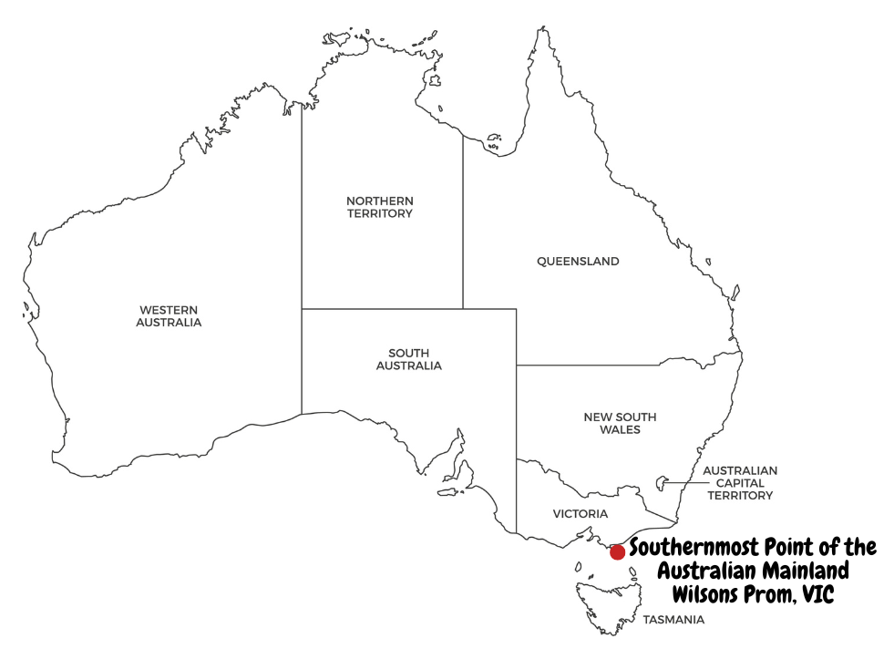
| South (Mainland) | South Point | Wilsons Promontory, Victoria |
| South (Continent) | South East Cape | Tasmania |
| East | Cape Byron | Byron Bay, New South Wales |
| West | Steep Point | Shark Bay, Western Australia |
I'm sure you'd have noted that there are two southern extremities in the table above; (1) a southern extremity for the mainland (South Point in Victoria) and (2) for the continent (South East Cape in Tasmania).
Australia being the 6th largest country in the world by area, we challenged ourself to visiting all of its extreme points. While some of these extreme points can be reached by car, a couple of them are accessible only on foot; South Point is one of them!
For those eager to explore more, check out our overview itinerary post covering all the extreme points of Australia — a comprehensive journey through the far-reaching corners of this vast and captivating land.
This post will explain everything you need to know to visit this beautiful place that is part of Wilsons Promontory National Park in Victoria. Wilsons Promontory National Park is approximately three hours’ drive from Melbourne. Tidal River is the main visitor hub for Wilsons Promontory National Park and is a further 30 minutes’ drive from the Park entrance. Tidal River is also the most popular and well-equipped camping ground within Wilsons Prom and is the base for all the scenic walks. Please note that there is no fuel at Tidal River so make sure to fill up beforehand; the closest servo is in Yanakie, which is around 35 kilometres from Tidal River.
Accessing South Point involves a 15.7km (one-way) hike and took around 7.5 hours (one-way) for us including few short breaks throughout and an hour lunch in Halfway Hut (more about the Hut further down!). Please note that the only way you can access South Point is by taking this 15.7 km (one-way) walk and there is no car or vehicle access to this or any near-by points.
For our visit to South Point, we booked a campsite in Roaring Meg camping area via Parks Victoria’s official website, which is the most southern hike-in camping area at the Prom and stayed there overnight after visiting South Point. Please note that the only way to accessing South Point is via Roaring Meg campsite. This campsite only has a drop dunny (composting toilet!) and untreated water is available from the nearby creek, which needs to be treated before consumption.
If, for some reason, you can't take this strenuous walk to South Point, you can still see South Point by the Wilsons Prom Cruise as described in the post below. Please note that you can't get down at South Point from the boat but can enjoy a spectacular view of this beautiful place!
Packing List
As the campsite can be accessed only on foot, a lot of planning is essential prior to commencing the walk. We carried with us the following items for a comfortable hike and an overnight stay:
- Backpack – we carried the TETON Sports Mountain Adventurer 4000 66 Litres Ultralight Plus Backpack for a family of 4. The bag was able to accommodate the camping tent, air mattresses, sleeping bags for all of us as well as the items listed below and weighed over 18kgs; I was still able to carry it throughout the walk comfortably!
- Camping tent - we got the Coleman 4-Person Sundome Dome Tent with Dark Room Technology. This tent was very spacious and comfortable for our family of 4 .
- Air mattress and inflatable pillow - we got the Loowoko and Hikenture Sleeping pads that came with built-in pillow; both brands were very easy to inflate/deflate and comfortable to use.
- Sleeping bag - we went with the KMart sleeping bags and were comfortable for the Summer weather in Wilsons Prom.
- Clothes - pack moisture wicking clothers and try to wear them in layers based on the weather.
- Jacket - look at the weather forecast and pack a lightweight jacket, if required.
- Sunscreen - we used Cancer Council SPF50+ Insect Repellent Sunscreen, which is a dual purpose product combining sun protection and insect repellent
- Hat - I always use the Barmah Squashy Kangaroo Leather Hat and strongly recommend it.
- Sunglasses
- Hiking shoes and a couple of pairs of socks
- Hydration bag / water bottle
- Dehydrated meals - Back Country Cuisine has a wide range of options to suit many diets. Simply add hot water and wait for 10-15 minutes for the meal to be ready to eat. Their meals were delicious as well!
- Camping cups, spoons and plates - we recommend the Sea to Summit Delta Camp Set.
- Water filtering cloth
- Water purification tablets - Pop an Ef-Chlor tablet to 1L of water sourced from the creek or rainwater tank and wait for 30 minutes for the water to be ready to be consumed.
- Gas stove, canister and vessels - we went with the KMart Ultra Jet Butane Hiking Stove (Butane Canister to be purchased separately in KMart) which took only 3 minutes to bring 1L of water to rolling boil - very cost effective and super easy to use!
- Insect Repellent sprays/wristbands/stickers - we used Mozzigear Mosquito Patch and the adults as well as the kids' versions of Mozzigear Mosquito Band.
- Ponchos - TETON Sports Mountain Adventurer 4000 66 Litres Ultralight Plus Backpack comes with a poncho that can be used as an emergency tarp as well.
- Toilet Paper - You'll need to bring your own toilet roll.
- Portable Fan - You can buy one like here.
- Multi tool / Knife - This Raxco multi tool comes with great user reviews.
- Selfie Stick - Ottertooth is a famous brand.
- Headlights/flashlights - This Lomon LED Sensor Headlamp is Amazon's choice!
- Emergency first aid kit - Get one from Chemist Warehouse. Grab some OTC pain medication as well.
- Camping Shovel - check out this Ultralight Backpacking Trowel.
- Battery Pack/Powerbank - we use this ROMOSS 18W 30000mAh Power Bank and strongly recommend it.
- Lightweight snacks and loads of lollies for the kids!
- Lightweight rope for any emergencies.
- Few Tea bags, if you prefer.
Explore our itineraries hassle-free with these recommended services!
Car Rental
Key Stats
| Trailhead | Telegraph Saddle car park |
| Trail Type | Loop |
| Distance | 31.6km |
| Duration | 10.5 hours |
| Accumulated Elevation Gain | 932m |
| Difficulty | Moderate to Difficult |
Book your rental car via Rentalcars.com below at cheaper prices!
Day 1
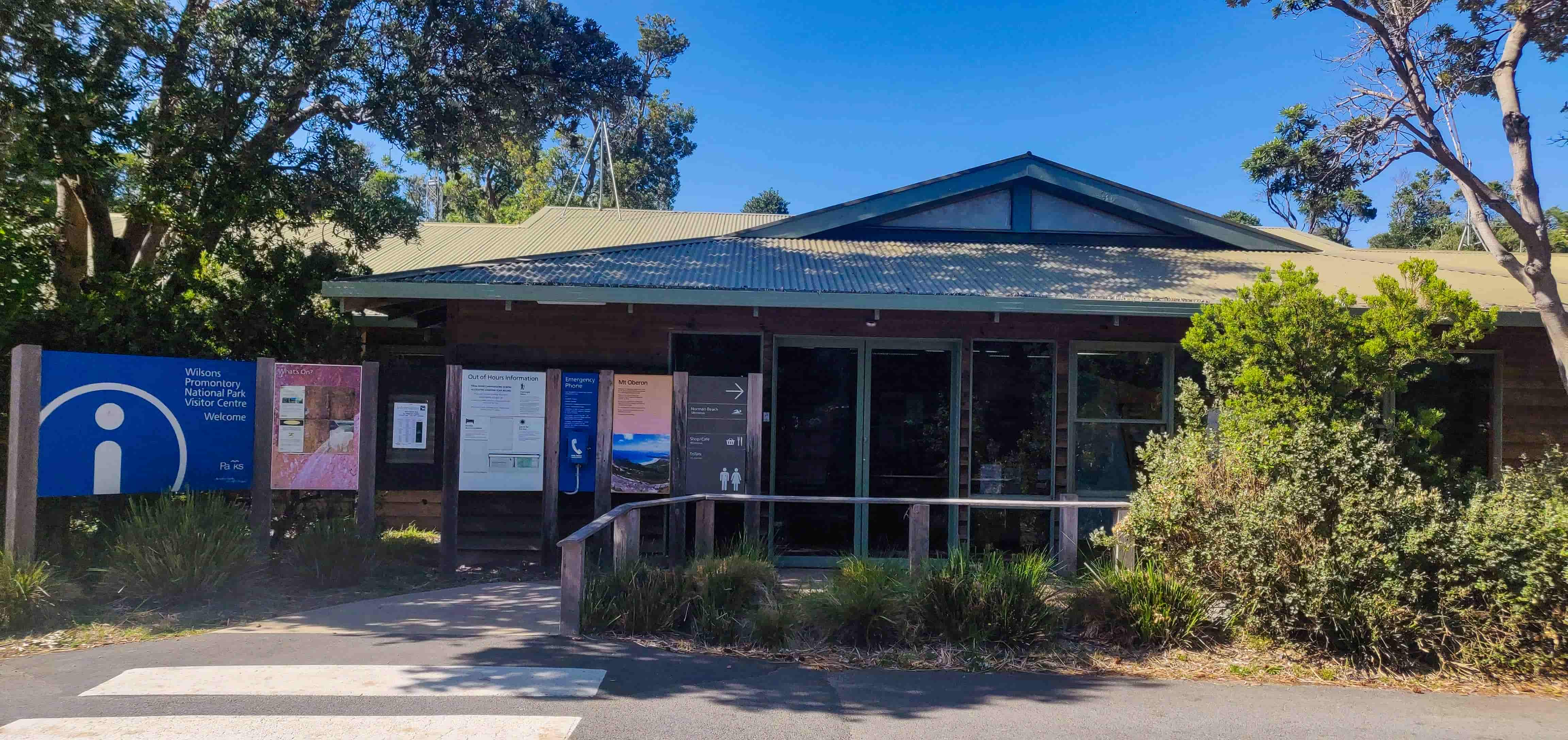
When you arrive at the Tidal River, sign-in at the Tidal River Visitor Centre and obtain a permit before setting out.
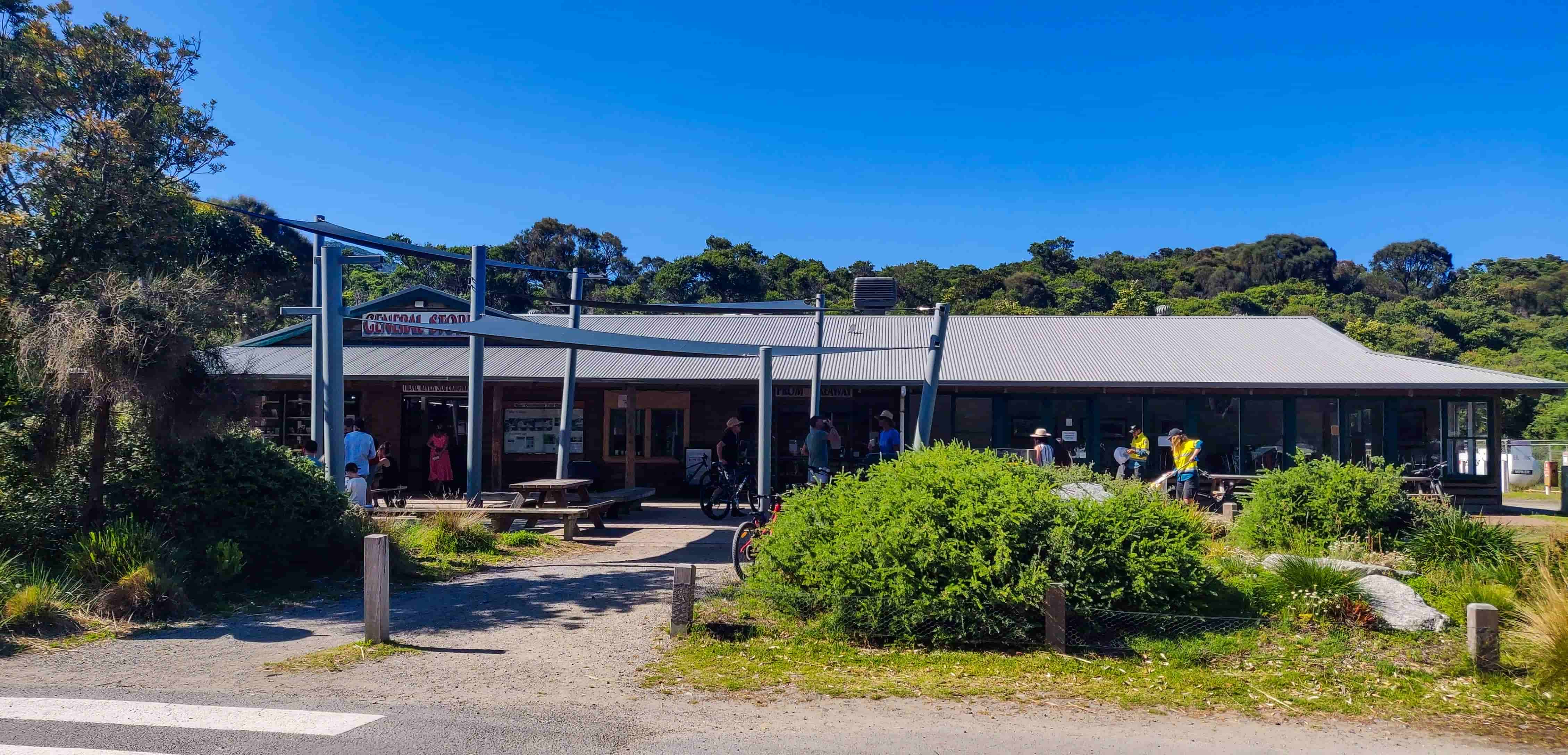
Tidal River has a General Store that sells camping items as well as takeaway sandwiches; stop here if you would like to grab a sandwich for lunch before heading out for the walk. There is a takeaway shop next to the General Store as well that serves coffee throughout the day and takeaway food during lunch hours.
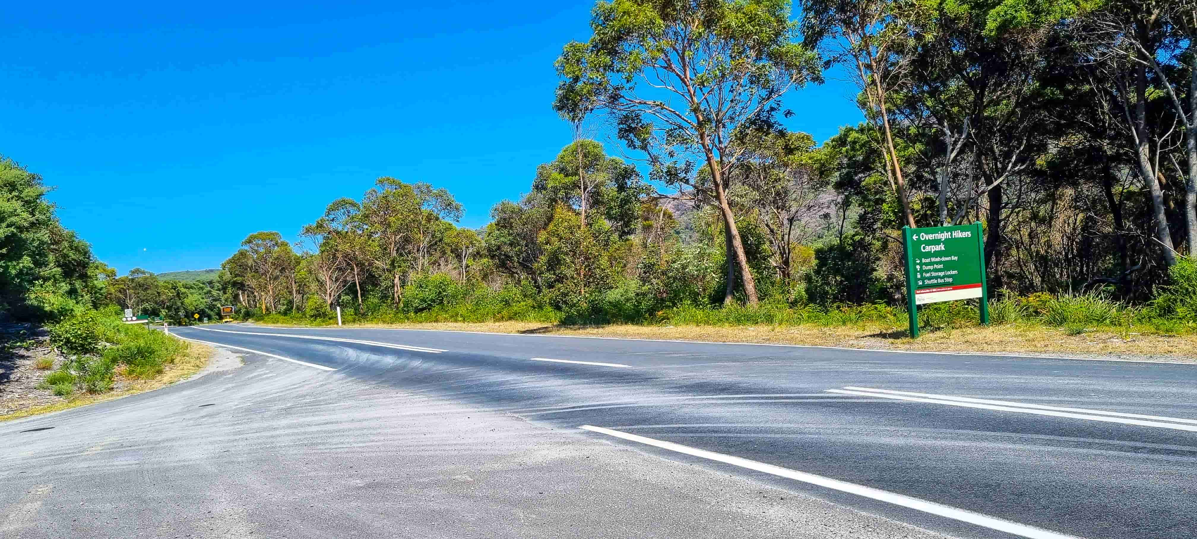
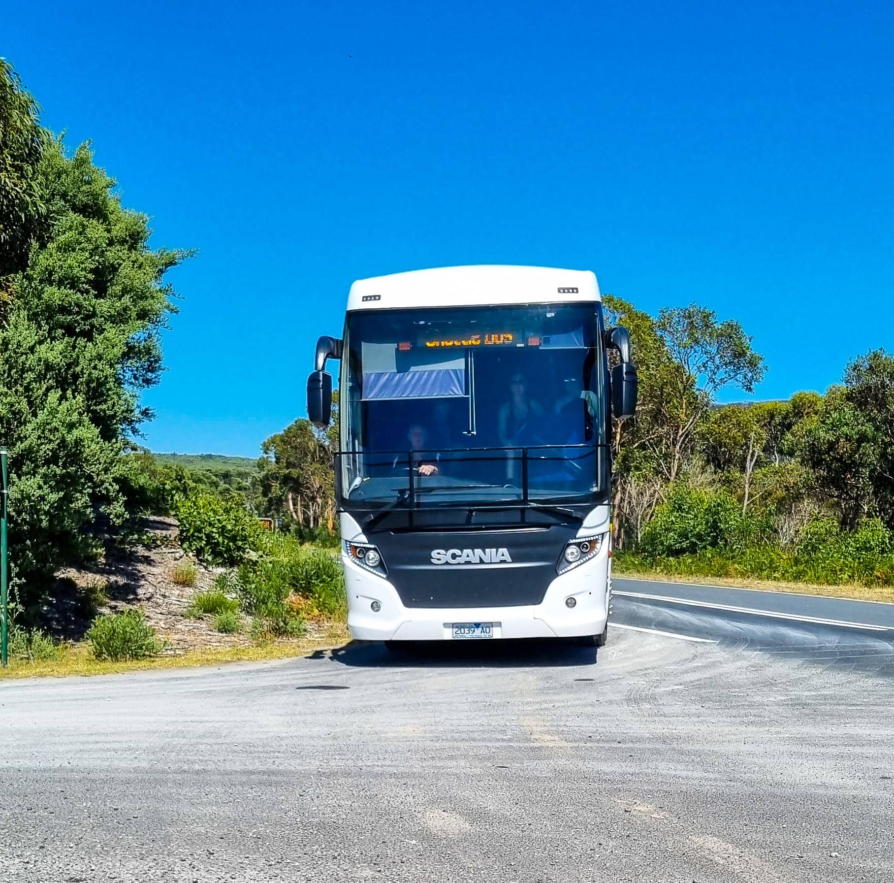
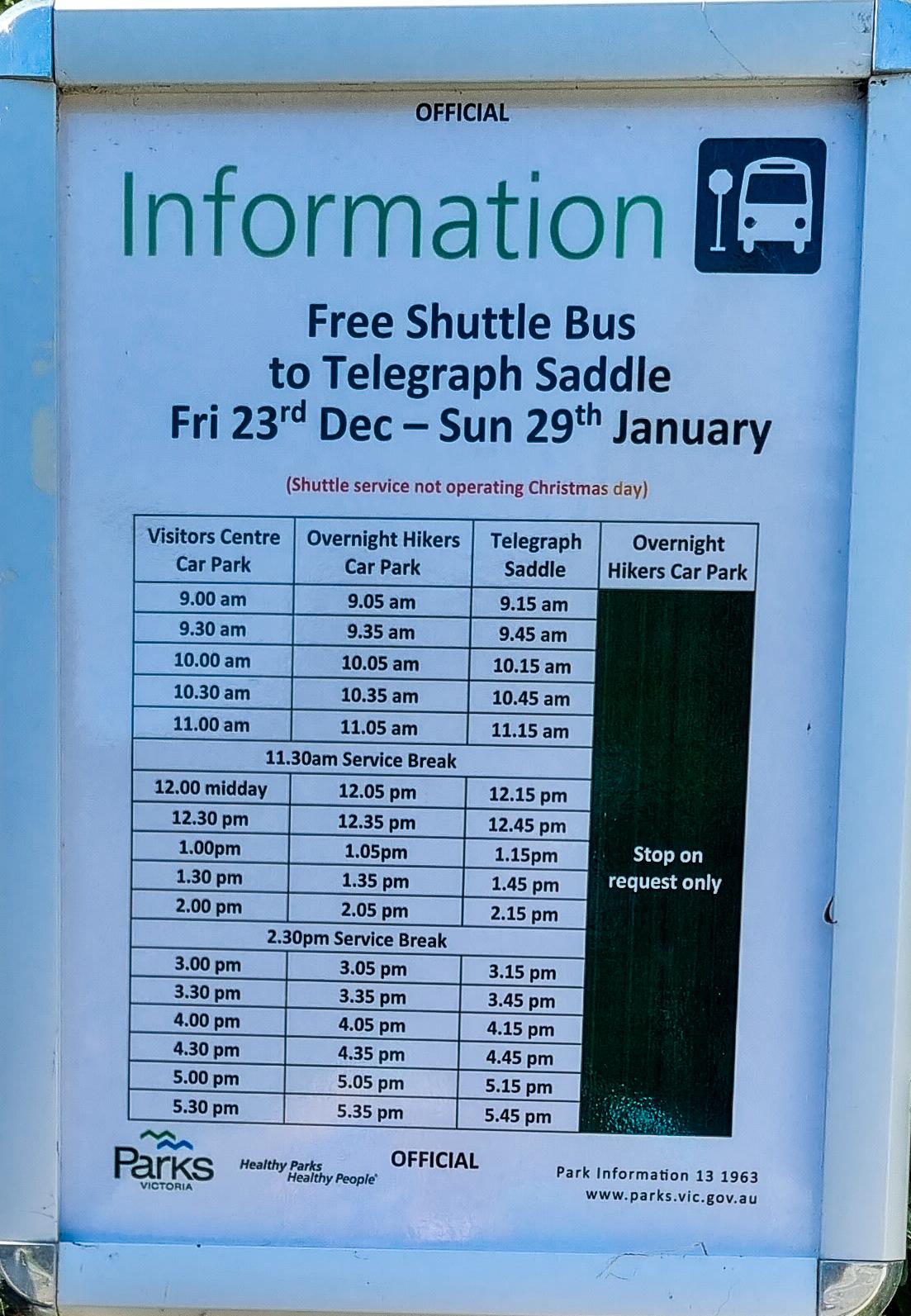
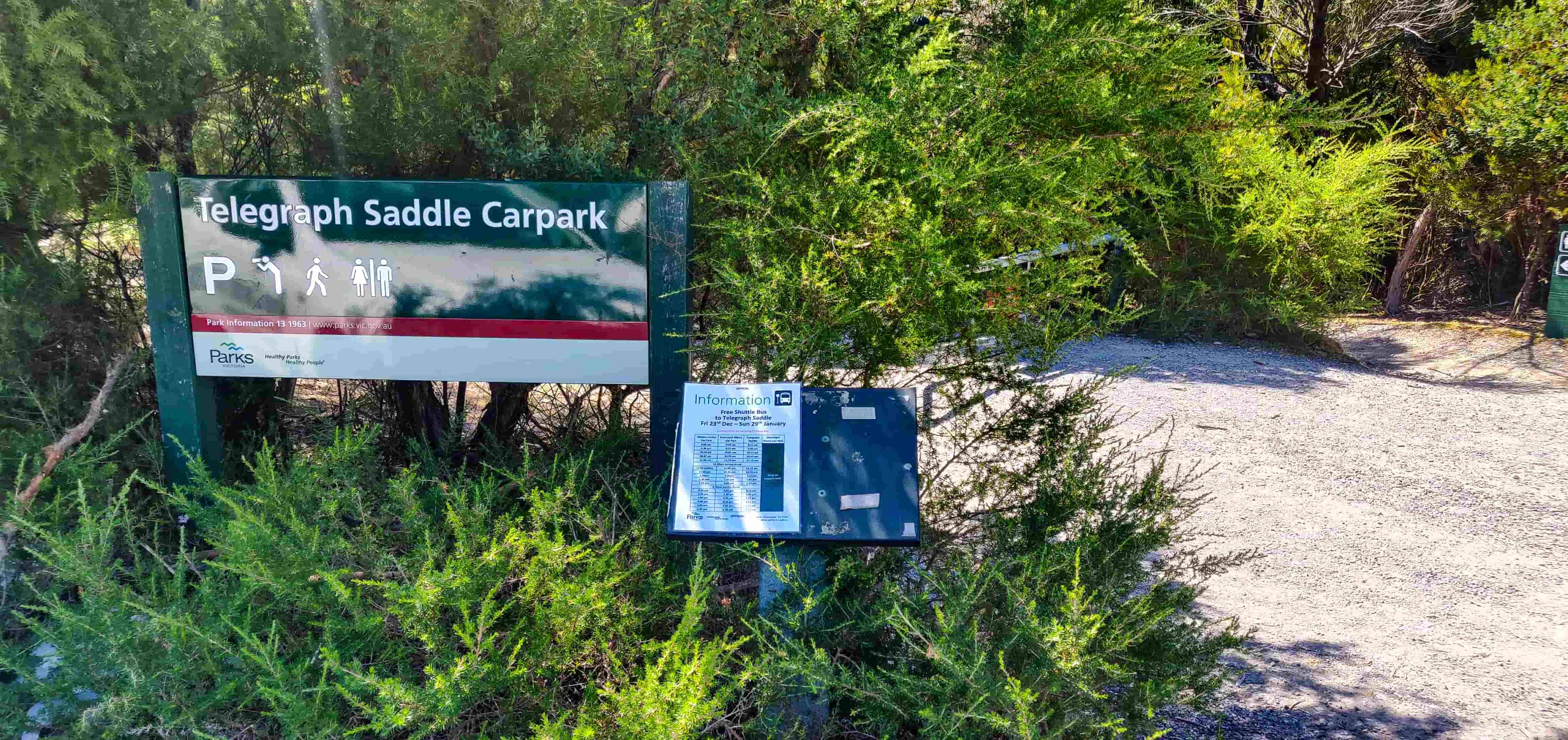
Telegraph Saddle car park is the commencement point for the walk to South Point. During peak summer months and on weekends from Melbourne Cup to Easter long weekend, a free shuttle bus takes visitors to Telegraph Saddle car park from both Tidal River visitor centre and the overnight hikers car park; Telegraph Saddle car park is closed to all other vehicles during these times.
So, go ahead to park your car at the overnight hikers car park, grab your backpacks and take the free shuttle bus to Telegraph Saddle car park; if you're visiting during off-peak season, head straight to Telegraph Saddle car park and park your car there. Make sure to display the permit on the car dashboard as Rangers will be frequently visiting the car parks to check illegally parked vehicles.
Now, it’s hiking time! Provided below is the Wilsons Promontory National Park Southern Circuit map.
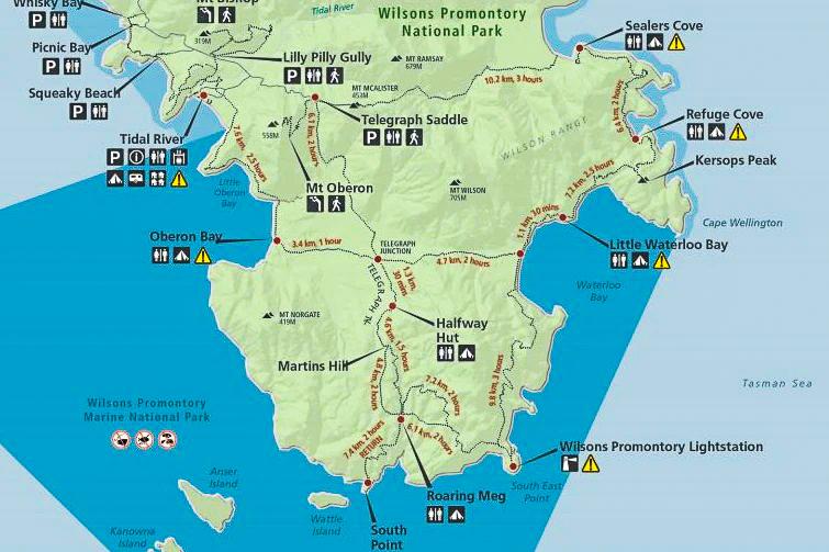
The following are the key stops during the walk and the associated distance.
| Point A | Point B | Distance / Time |
|---|---|---|
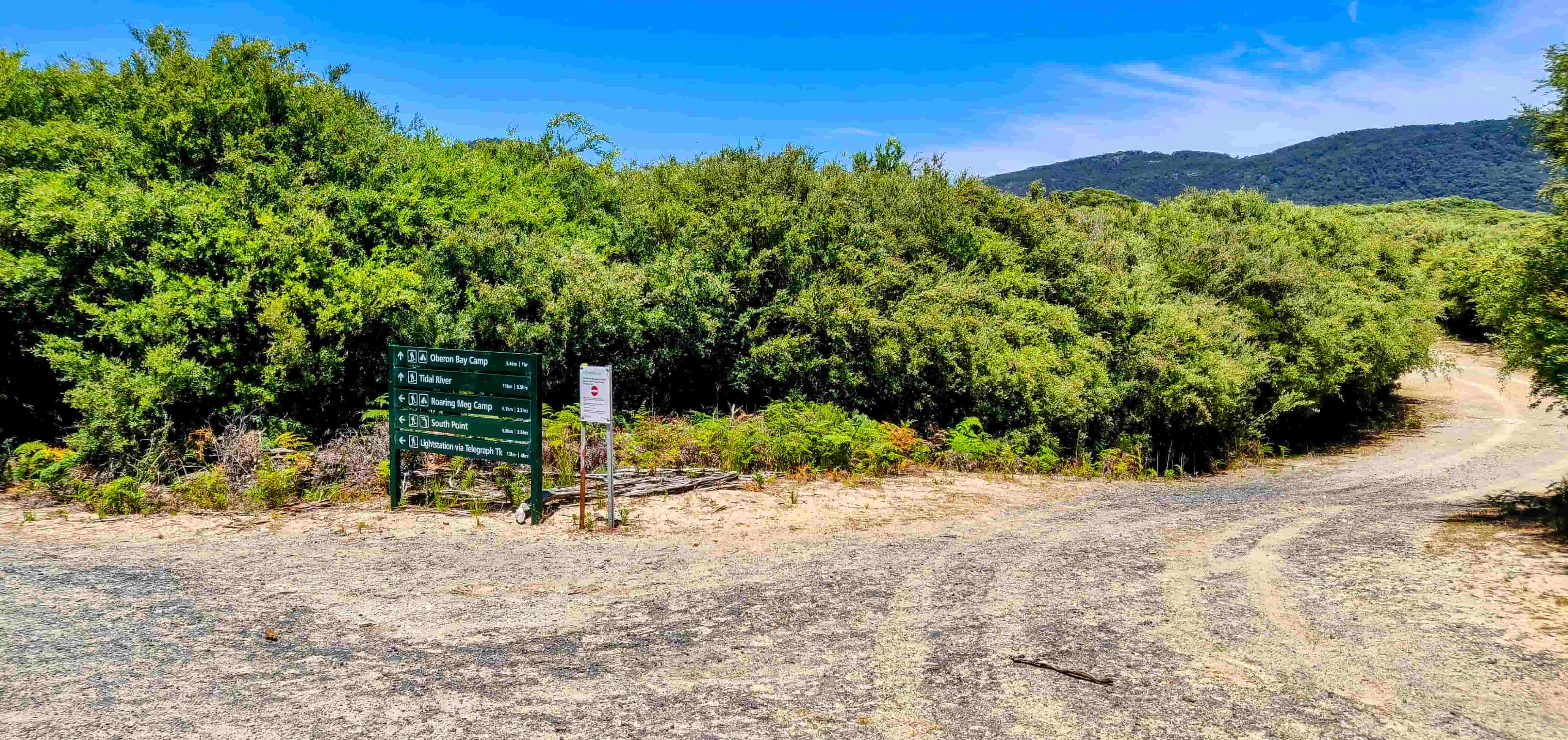
| Telegraph Saddle car park | Telegraph Junction | 6.1km, 2 hours |
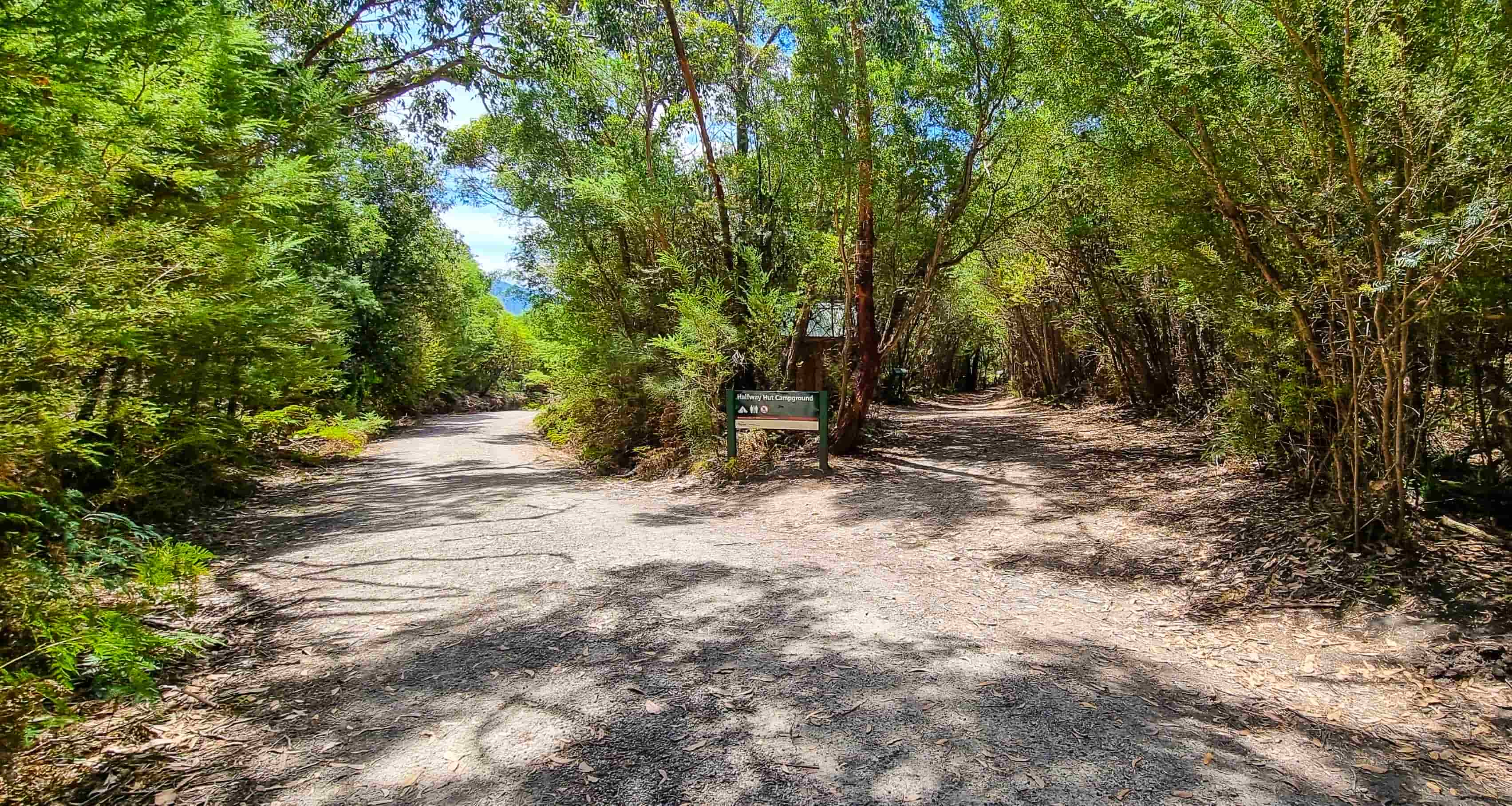
| Telegraph Junction | Halfway Hut | 1.3km, 30 minutes |
| Halfway Hut | Roaring Meg campsite | 4.6km, 1.5 hours (or) 4.8km, 2 hours More on this later in the post further below! |
| Roaring Meg campsite | South Point | 3.7km, 1 hour |
Telegraph Saddle Car Park to Telegraph Junction
The walk from Telegraph Saddle car park to Roaring Meg campsite is on a well maintained vehicle trail. The moment you start your walk from Telegraph Saddle car park, you will notice that you’re surrounded by European wasps and this pestering continues throughout the walk and in the campsite as well. The only time we didn’t see them was between the Roaring Meg campsite and South Point. We noticed that insect repellents didn’t work with these wasps and it’s constant annoyance that you can’t get rid of; so, be ready to get used to it!
The humidity is very high in the region so dress up accordingly. On the day we visited South Point, the temperature was around 30 degrees (middle of summer) and combined with high humidity, the hike was very tiring. Check the latest weather forecast to know what to expect of the day. Also, carry sufficient drinking water for your walk. Wear sturdy walking boots and carry a hat, sunscreen, sunglasses and waterproof clothing; it’s essential to be comfortable throughout the walk, rain or shine. We strongly recommend that you practice walking on undulating terrain carrying your backpack in the days up to this hiking to gauge your ability to walk this distance with the load. Our 65L backpack weighed slightly over 18kgs! In addition, the wife carried 6kg, the elder kid 2kg and the younger kid 1kg in their backpacks.
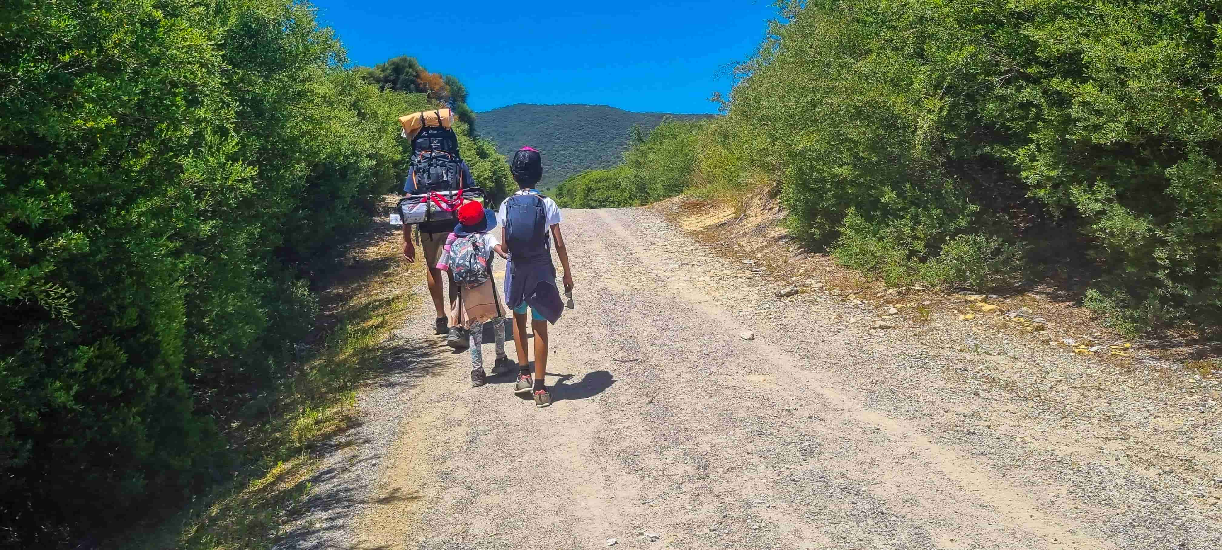
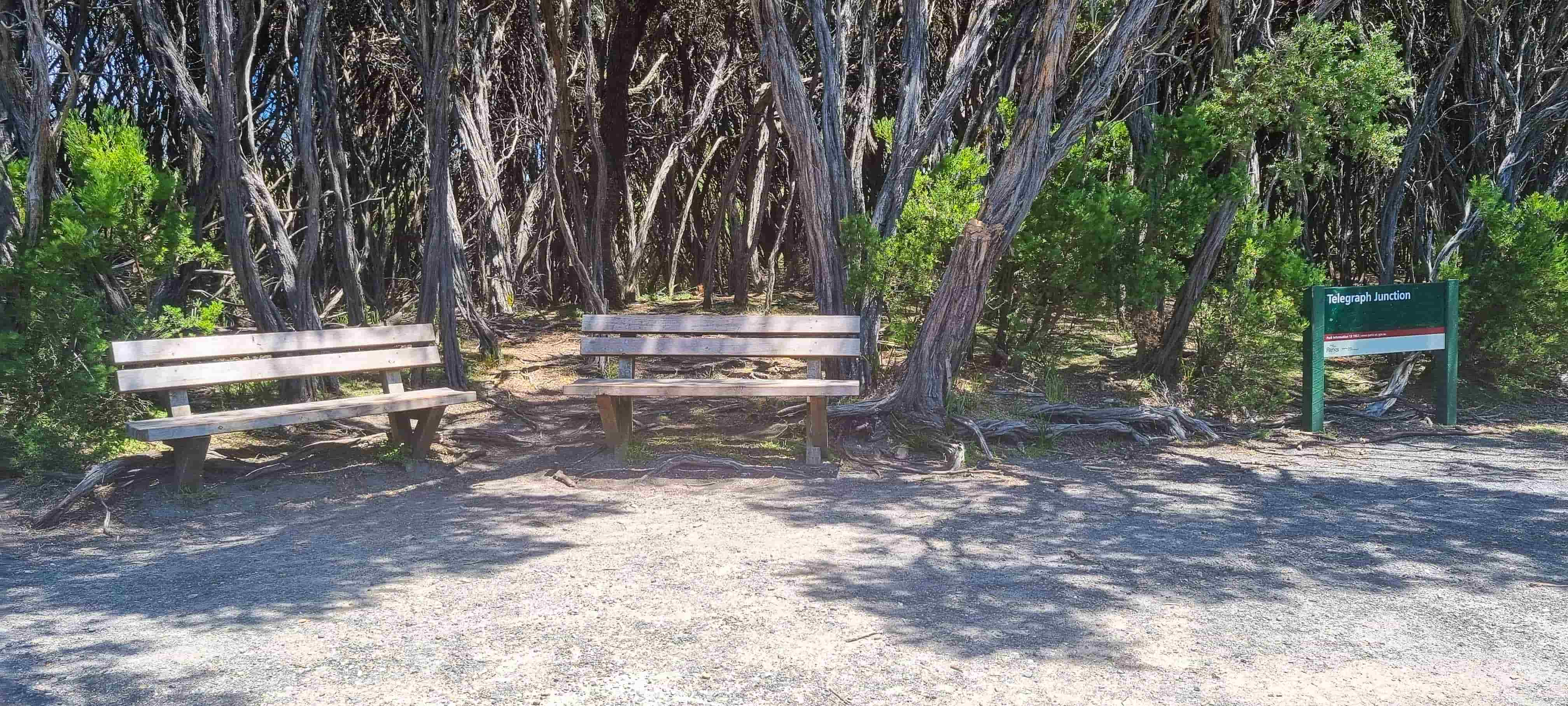
The first 2.8 kilometres from Telegraph Saddle car park was downhill and was smooth but do note that it’ll be uphill on your way back! The trail was mostly flat afterwards and we reached Telegraph Junction in 2 hours as recommended.
Telegraph Junction to Halfway Hut
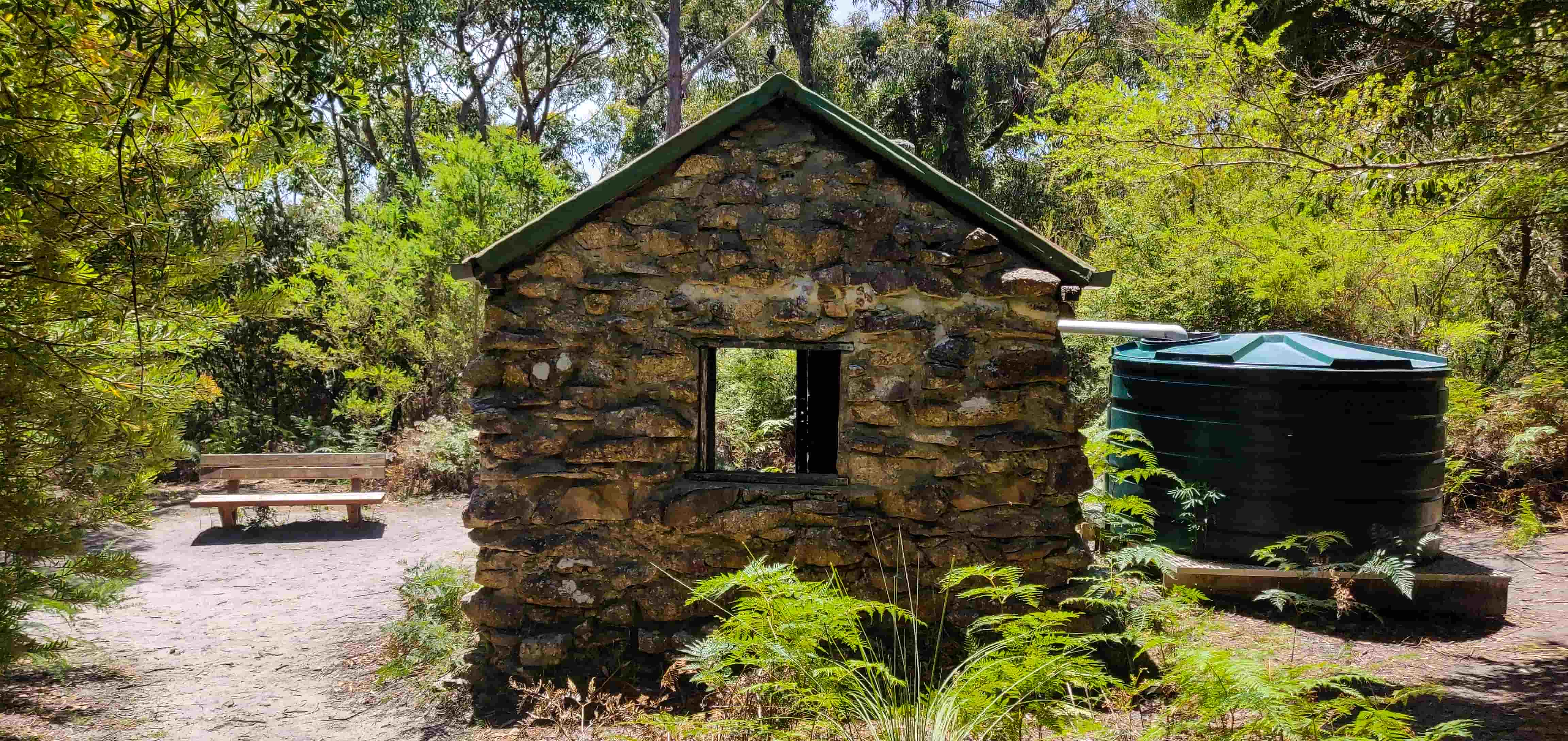
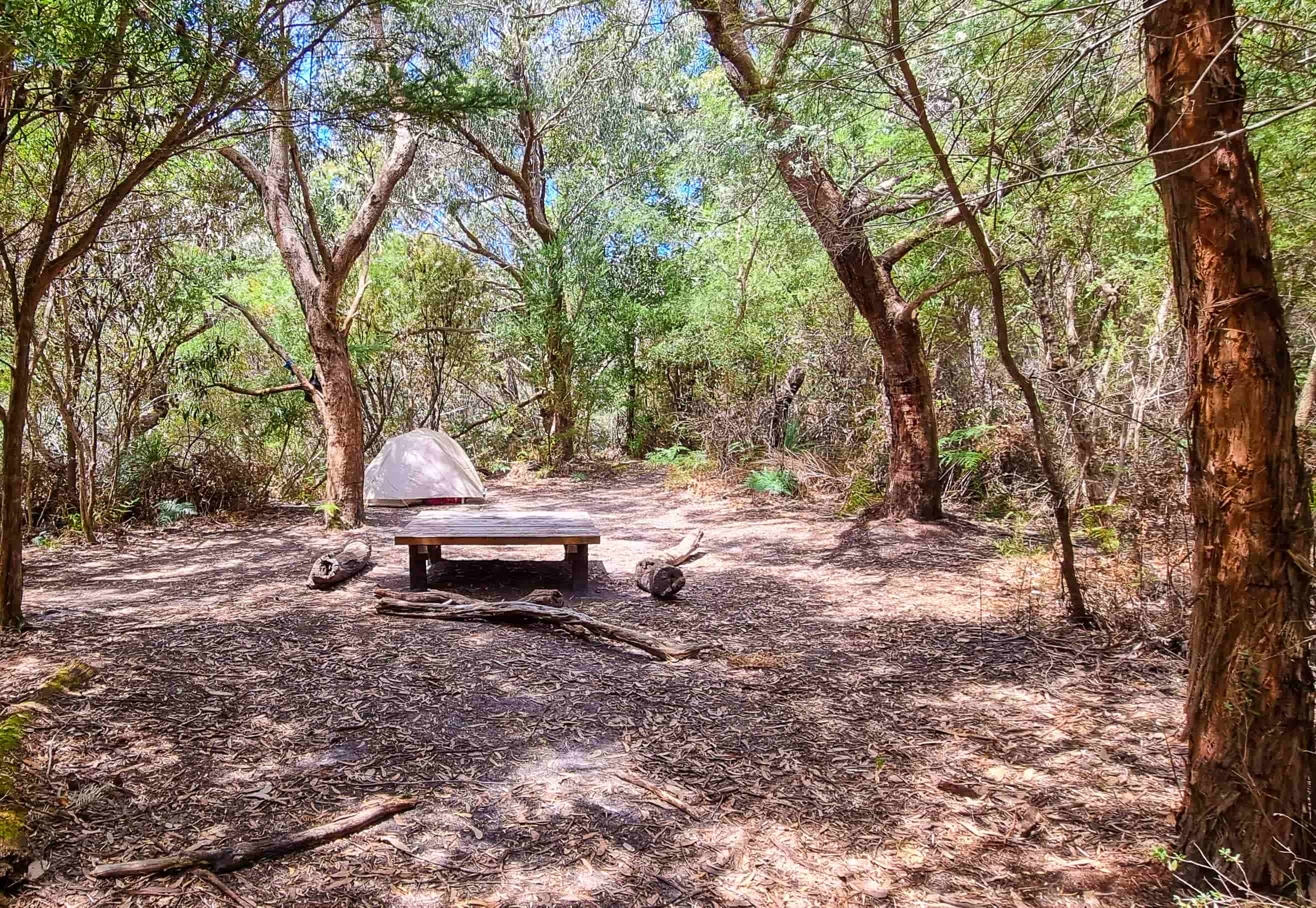
We took a short break on the Bench and continued our walk towards Halfway Hut. By the time we reached Halfway Hut, everyone was hungry so we had our lunch on one of the two tables available in the site. Halfway Hut campsite has a drop dunny and water supply at the site is from the rainwater tank located in the campground that needs to be treated prior to consumption.
Halfway Hut to Martins Hill
Once we were well relaxed, we continued on our walk to Roaring Meg. What we didn’t know when we started from Halfway Hut was that the first 2 kilometres from Halfway Hut was a very steep uphill! We got exhausted very soon especially due to the walk shortly after lunch and the family had to take frequent rest stops during this stretch. But the views from the top were fantastic!
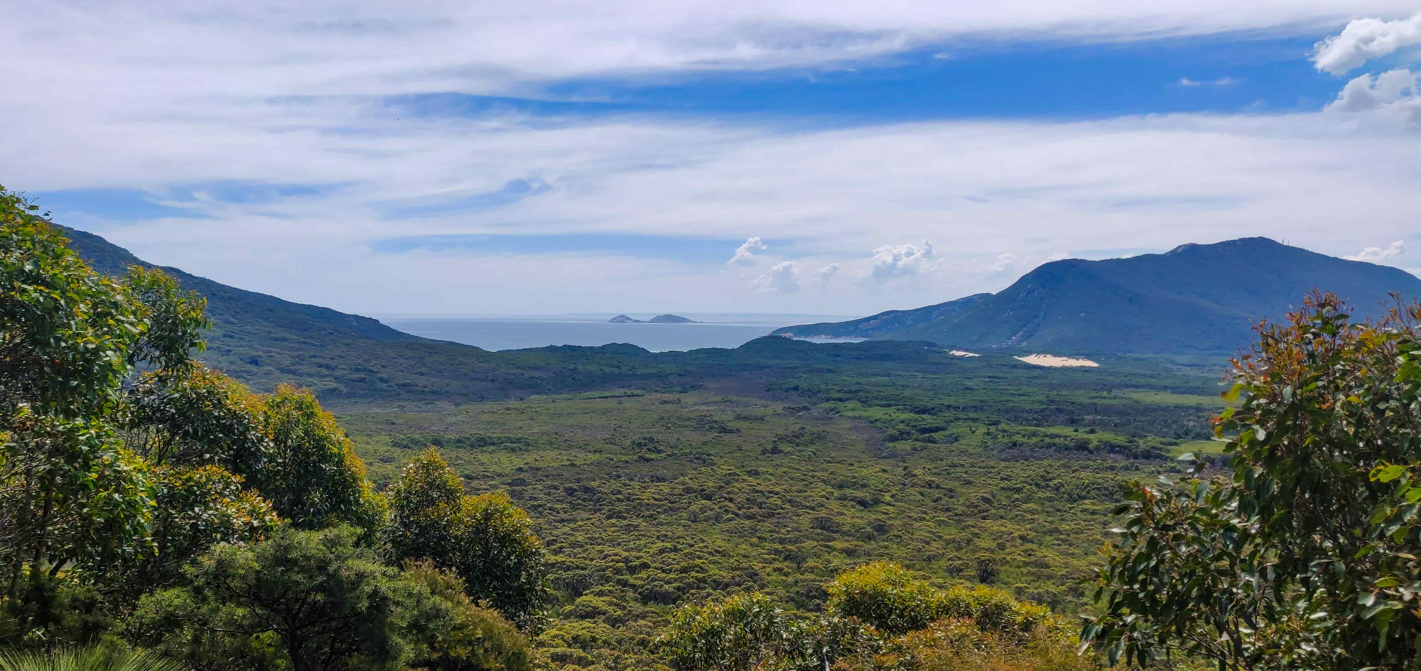
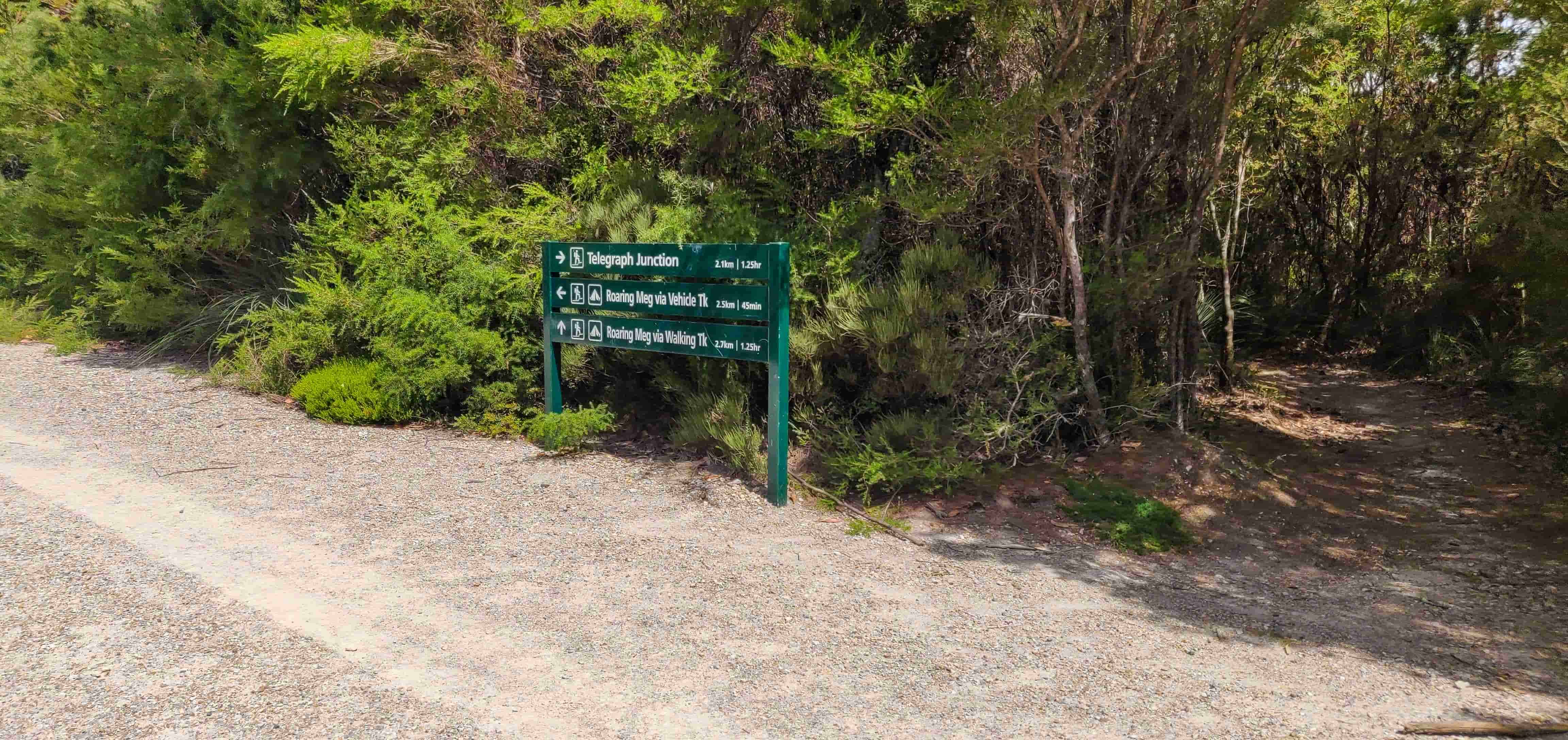
Once you walk 2.1 kilometres from Halfway Hut, you will reach a junction, which is Martins Hill in the map provided above. My Telstra mobile reception was available until we reached this junction and stayed out of coverage beyond this point.
Martins Hill to Roaring Meg
From this junction, you have two options in terms of reaching Roaring Meg: 1) either continue on the vehicle track for 2.5km or, 2) take the 2.7km walking track. Considering that it’s downhill from here to Roaring Meg, we continued on the vehicle track and had no issues with reaching Roaring Meg other than once where we had to go past a fallen tree.
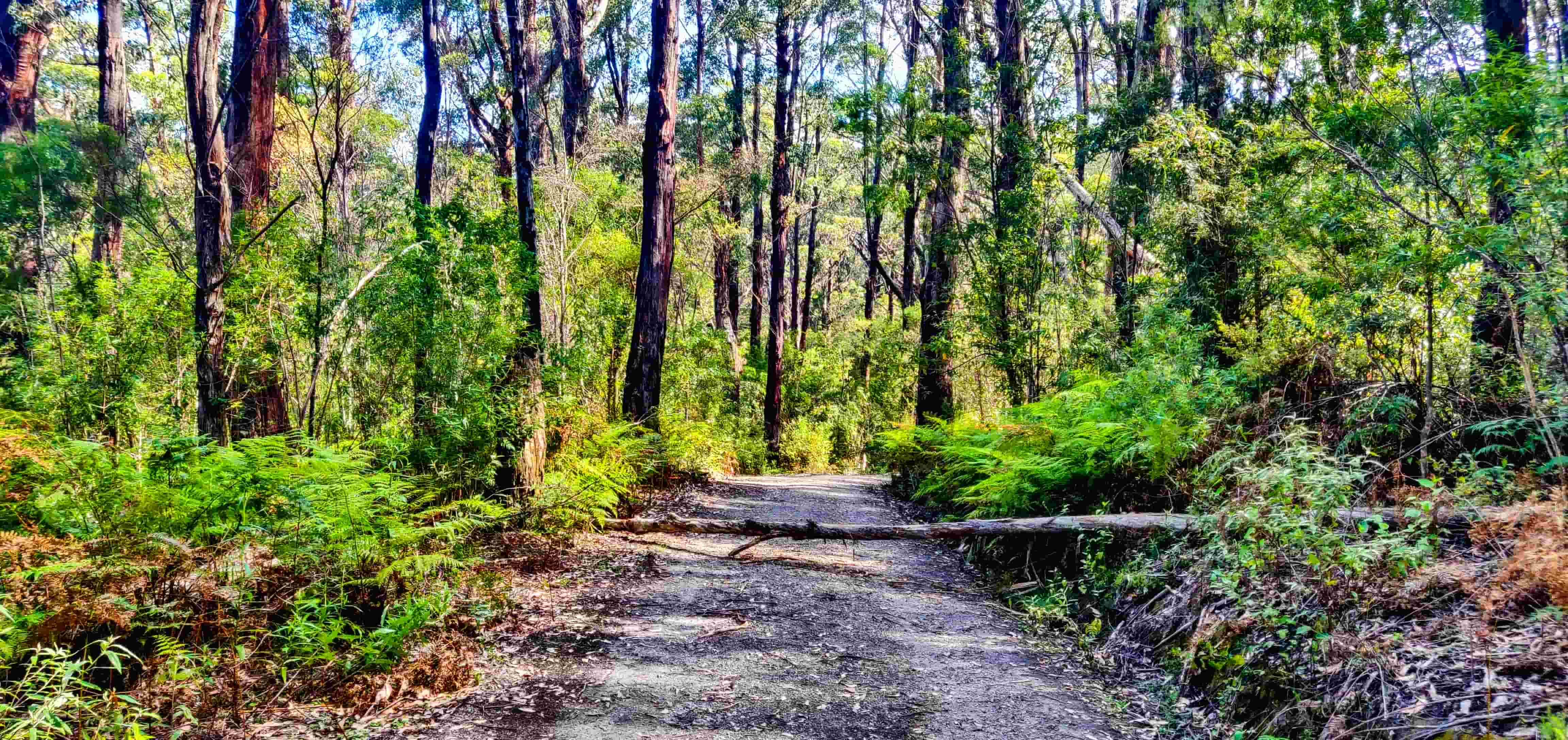
The walking track is an easy walk as well on a clear day however the trail will be very rough in or shortly after rain. We did take the walking track for our return walk, which is explained in detail further down below. After 2.5km of walking downhill on the vehicle track, we reached Roaring Meg campsite! It took 6 hours for us to reach here from Telegraph Saddle car park, including an hour’s lunch break.
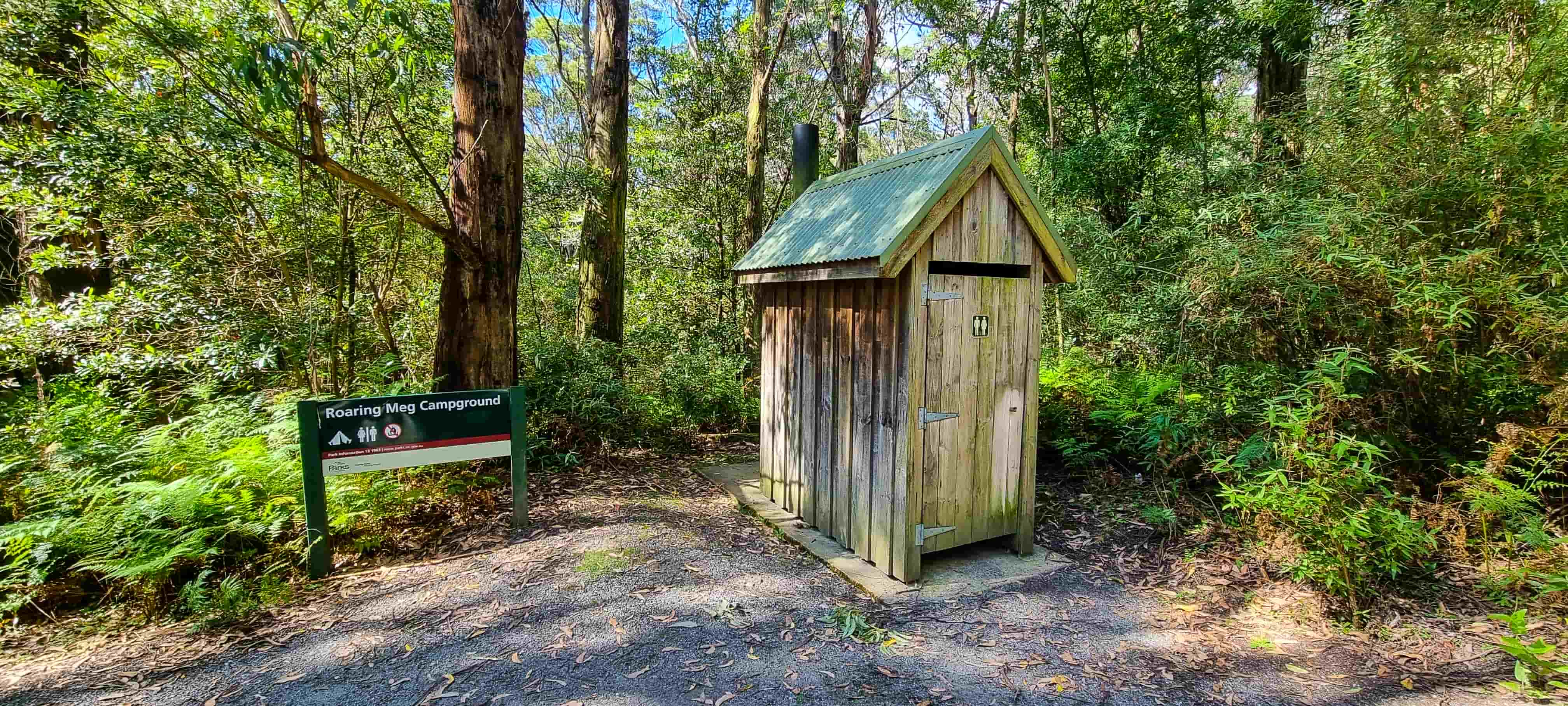
We figured out a nice spot for setting up our tent, set up the tent and had a short break.
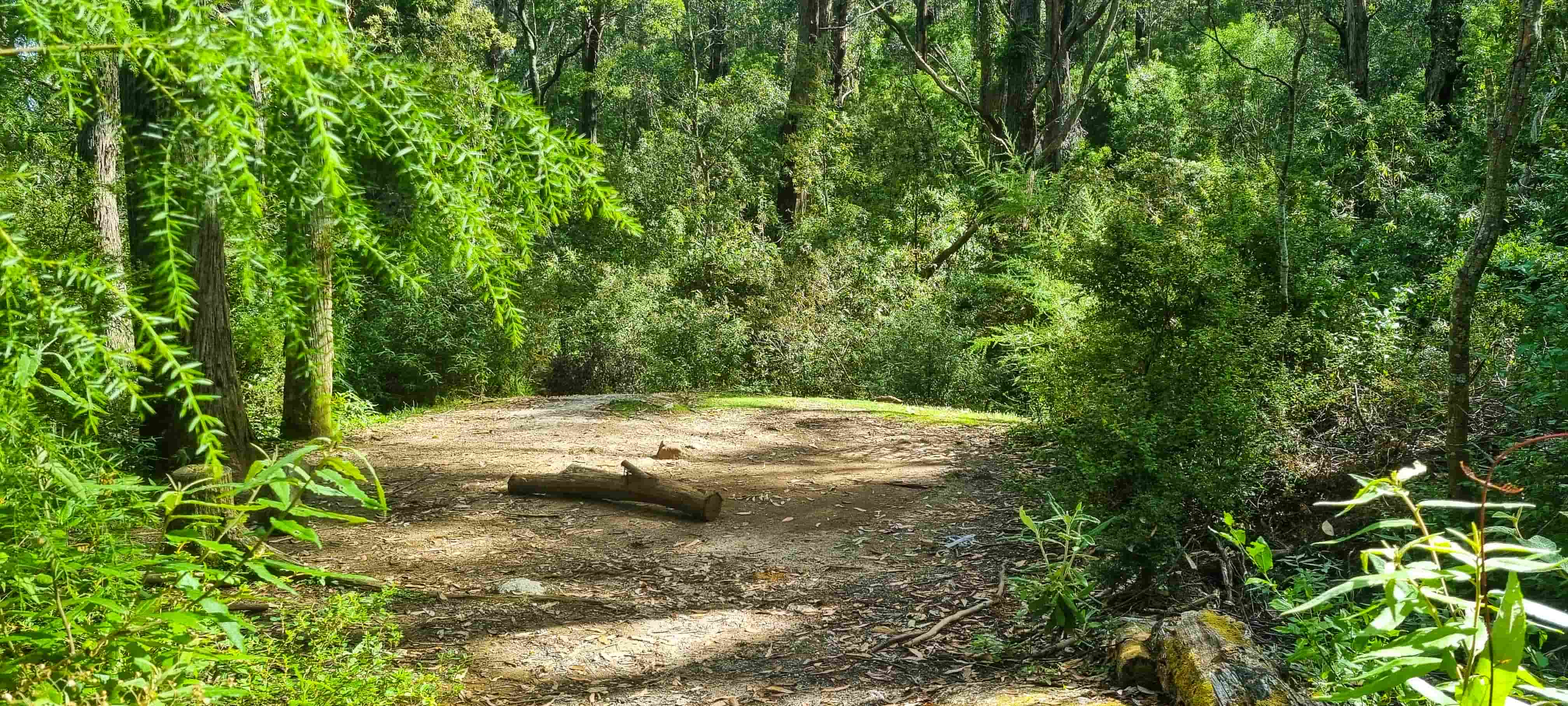
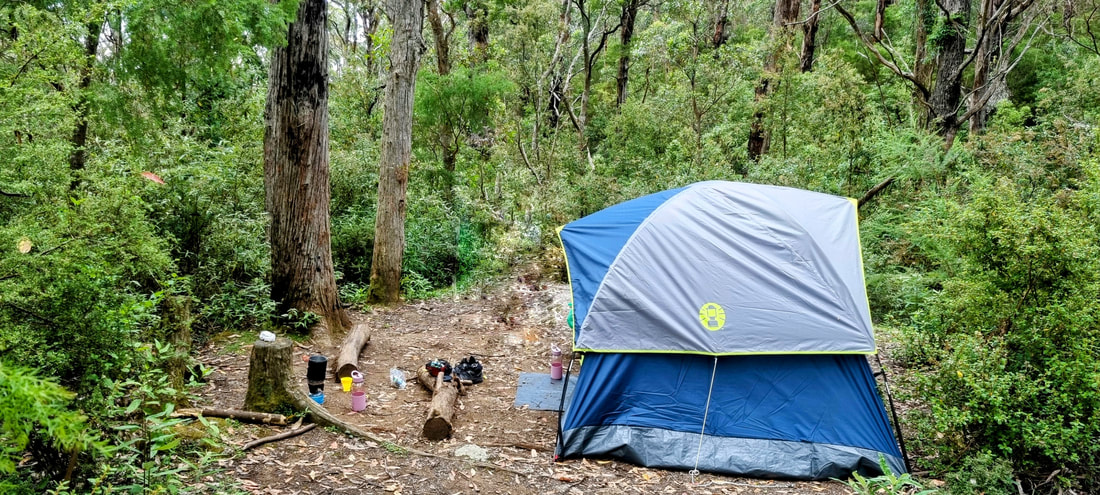
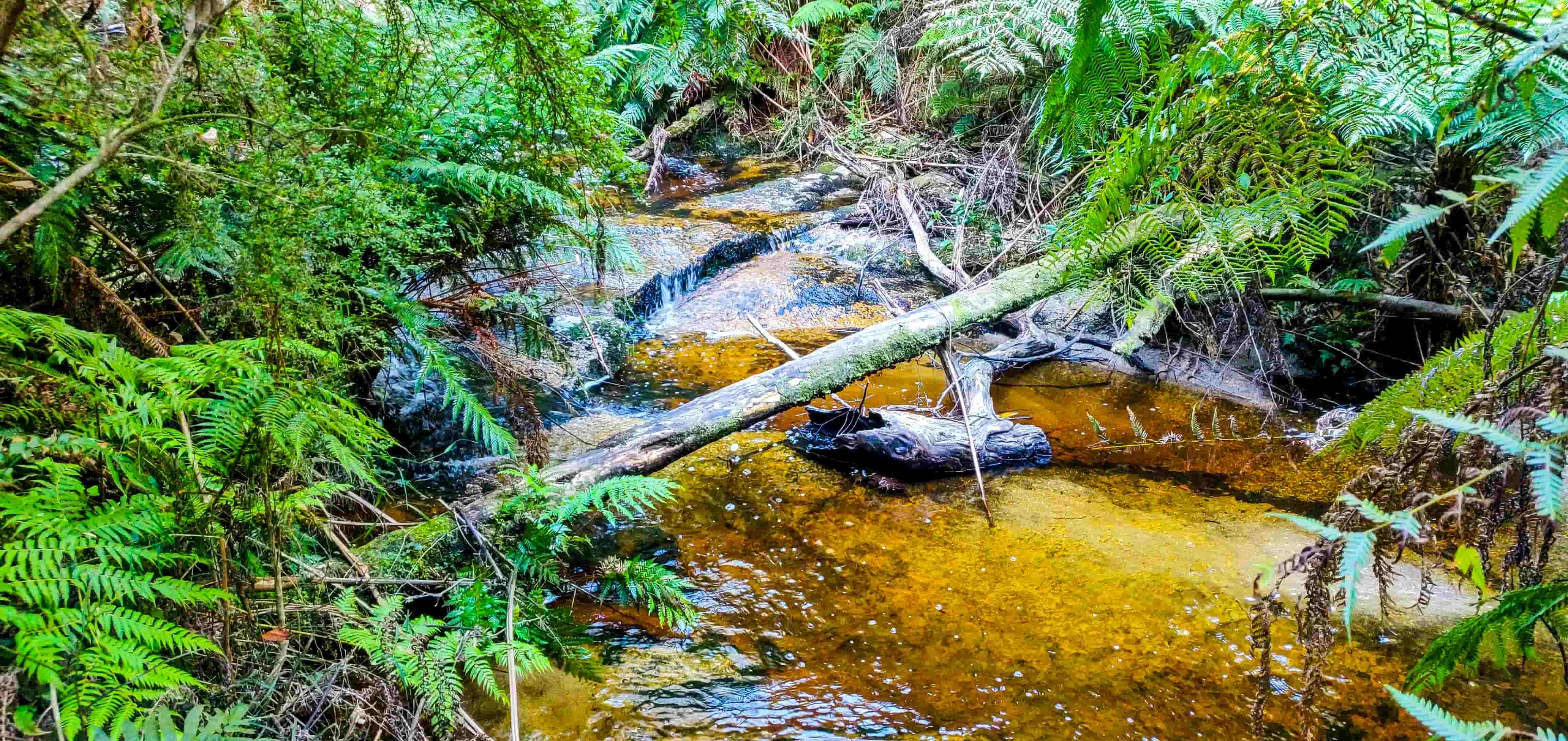
Roaring Meg has a main campsite and a lower campsite; the creek is close to the lower campsite and is accessible via a short walk downhill from the main campsite. Roaring Meg campground has a drop dunny as well.
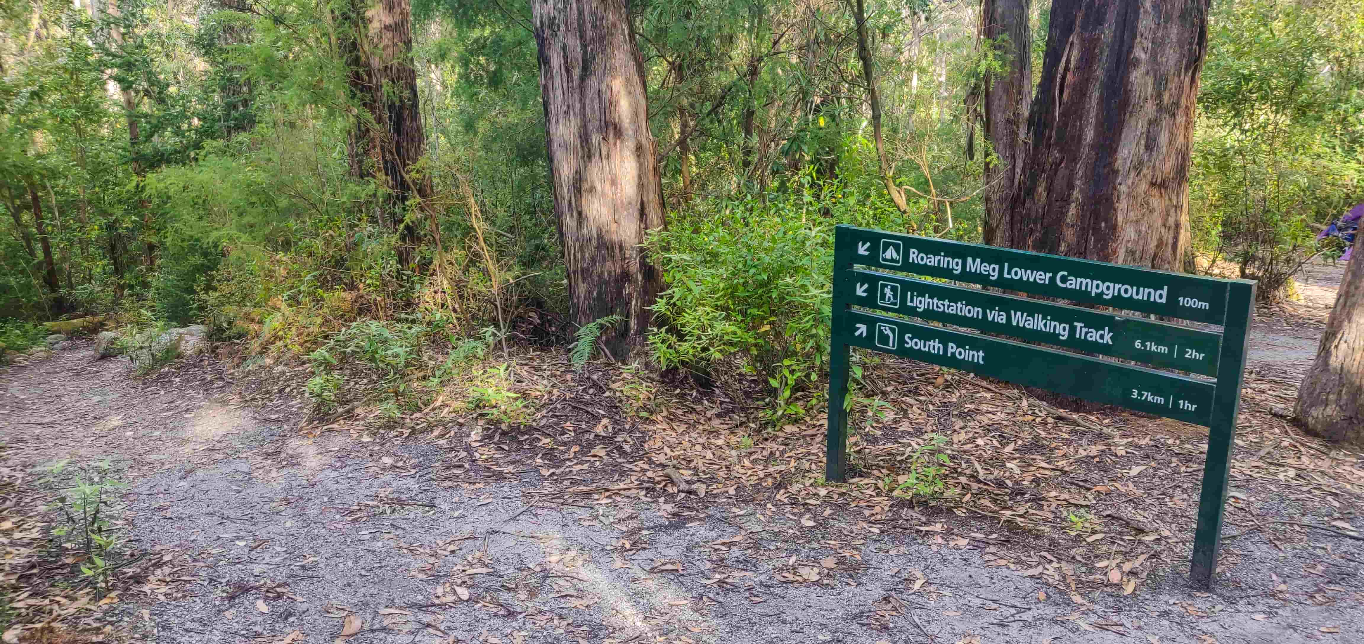
Roaring Meg to South Point
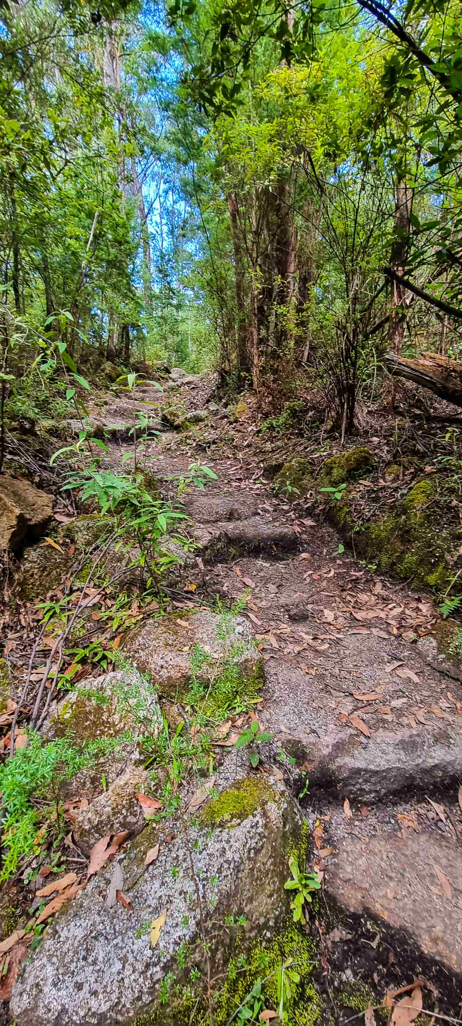
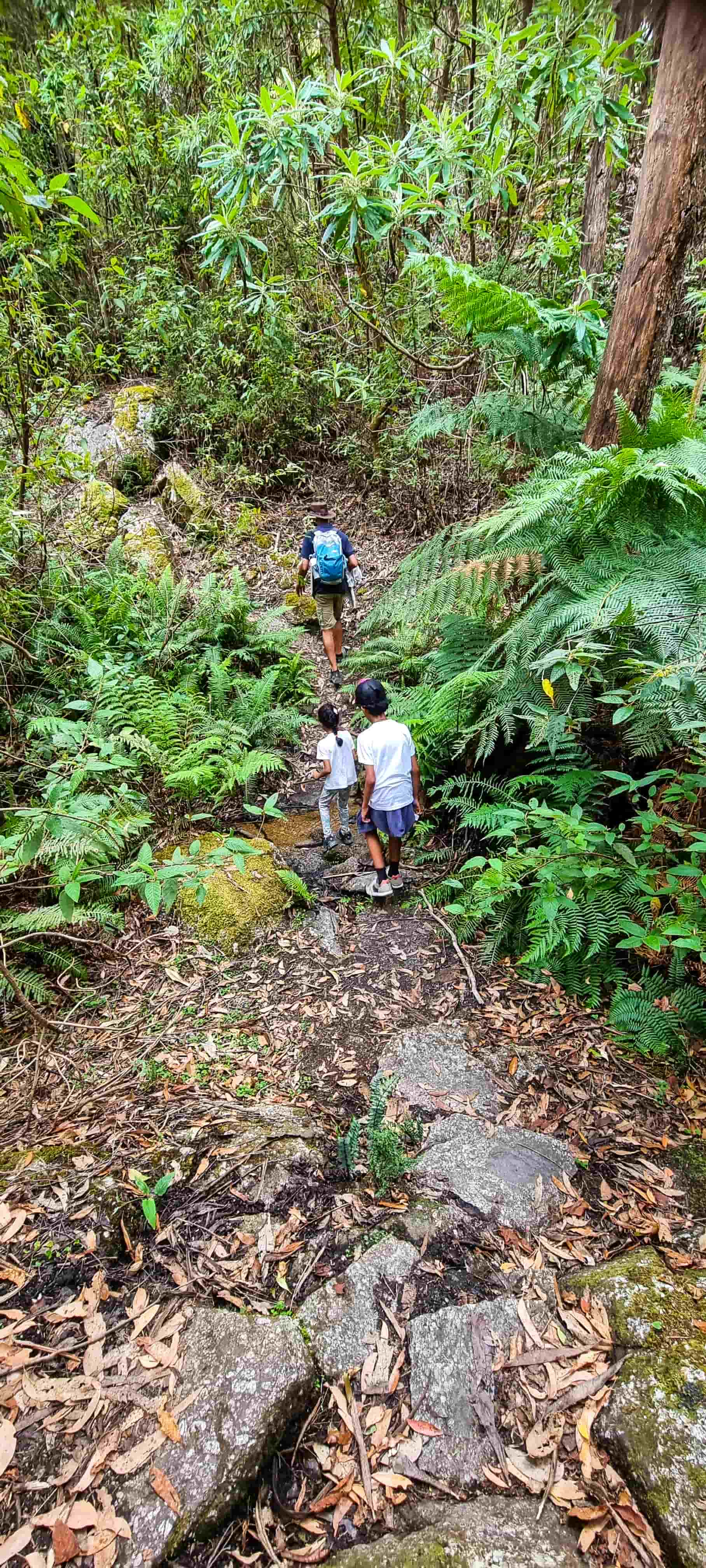
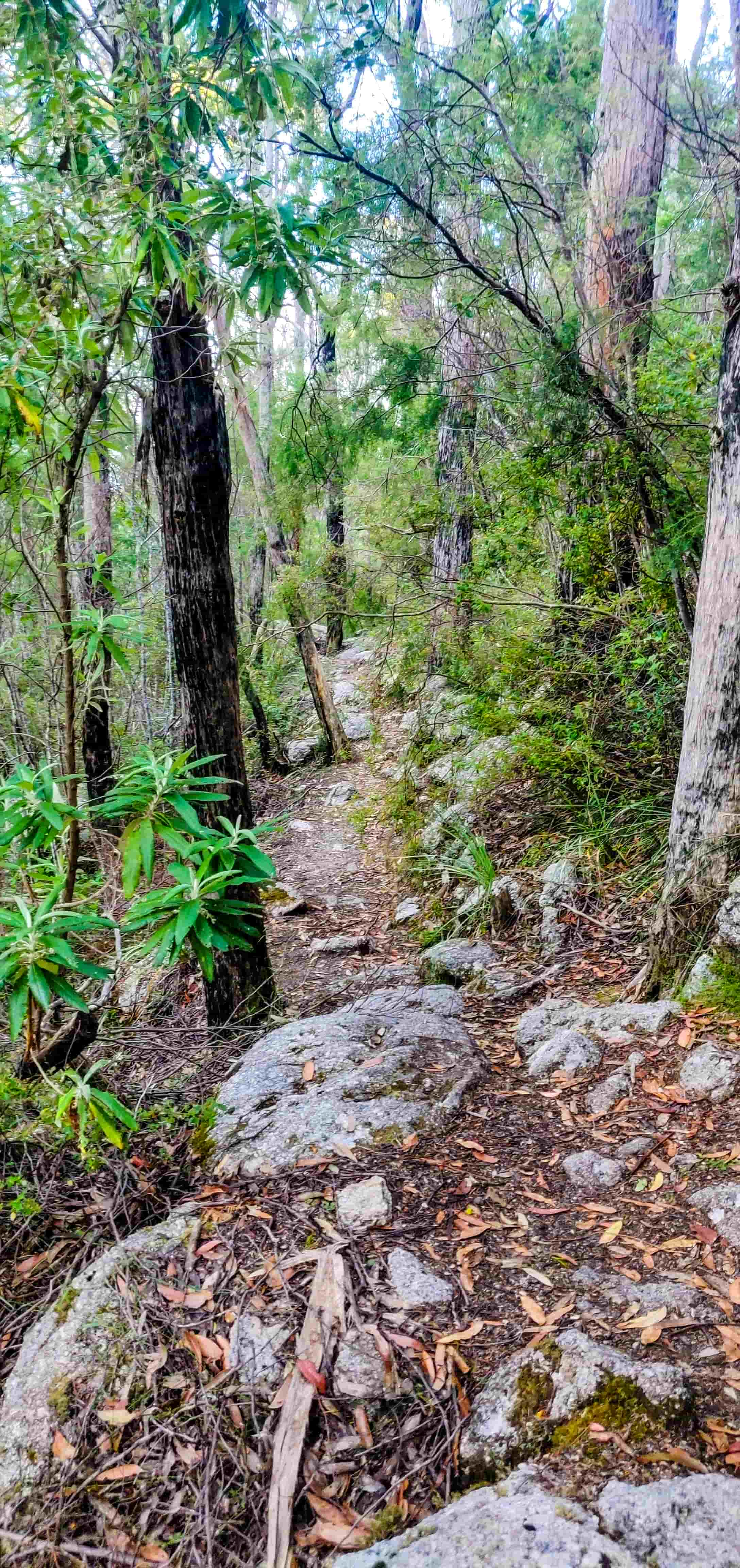
After a short break, we headed to South Point leaving all our belongings in the tent except water and flashlights (and, of course, our cameras!). The walking track from Roaring Meg to South Point is on a Grade 4 walking track and is not marked at all so you need to figure out yourself where you’re going. Do also note that this being a walking track, there were instances where we had to crawl between large rocks, underneath or over fallen trees and carefully stepping over thorny bushes.
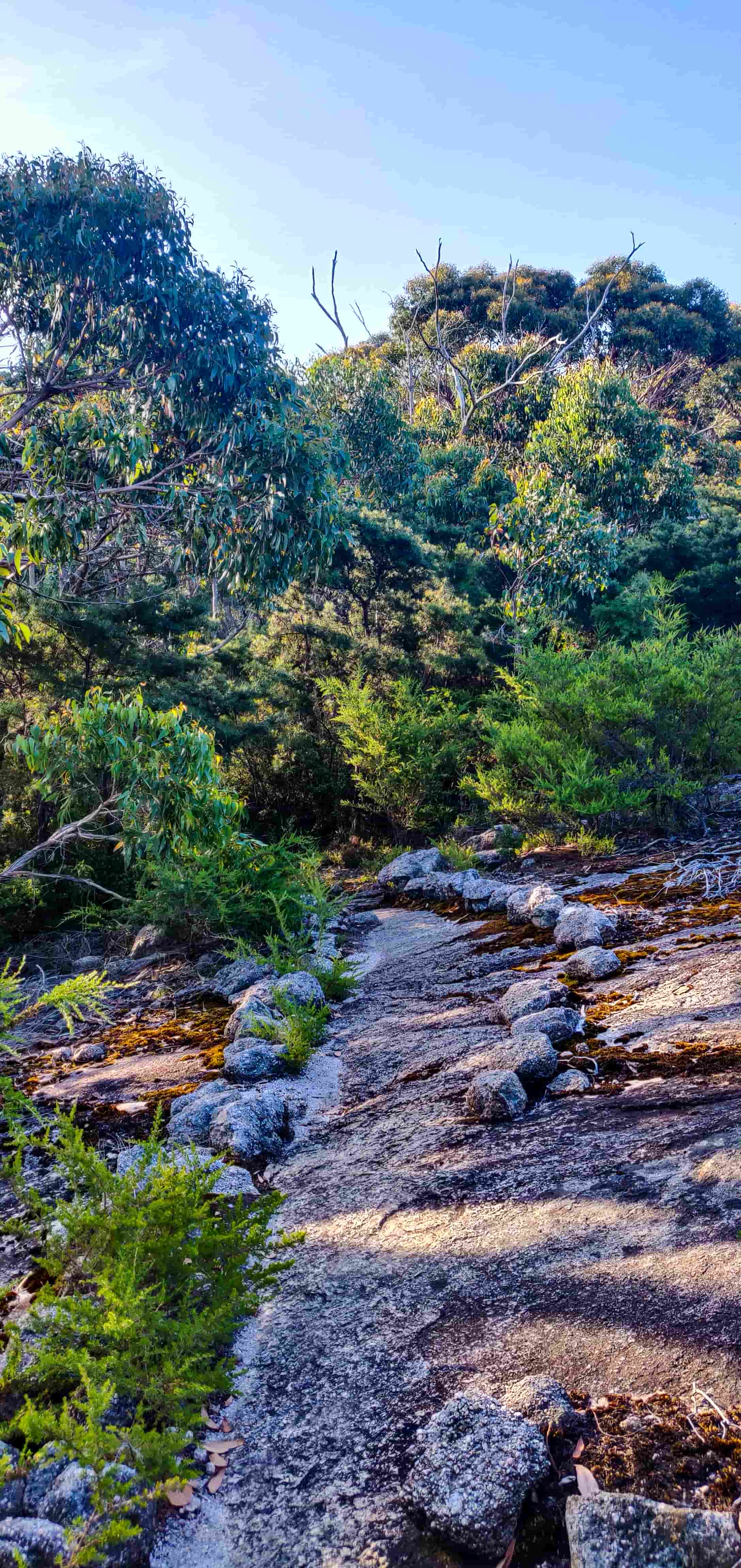
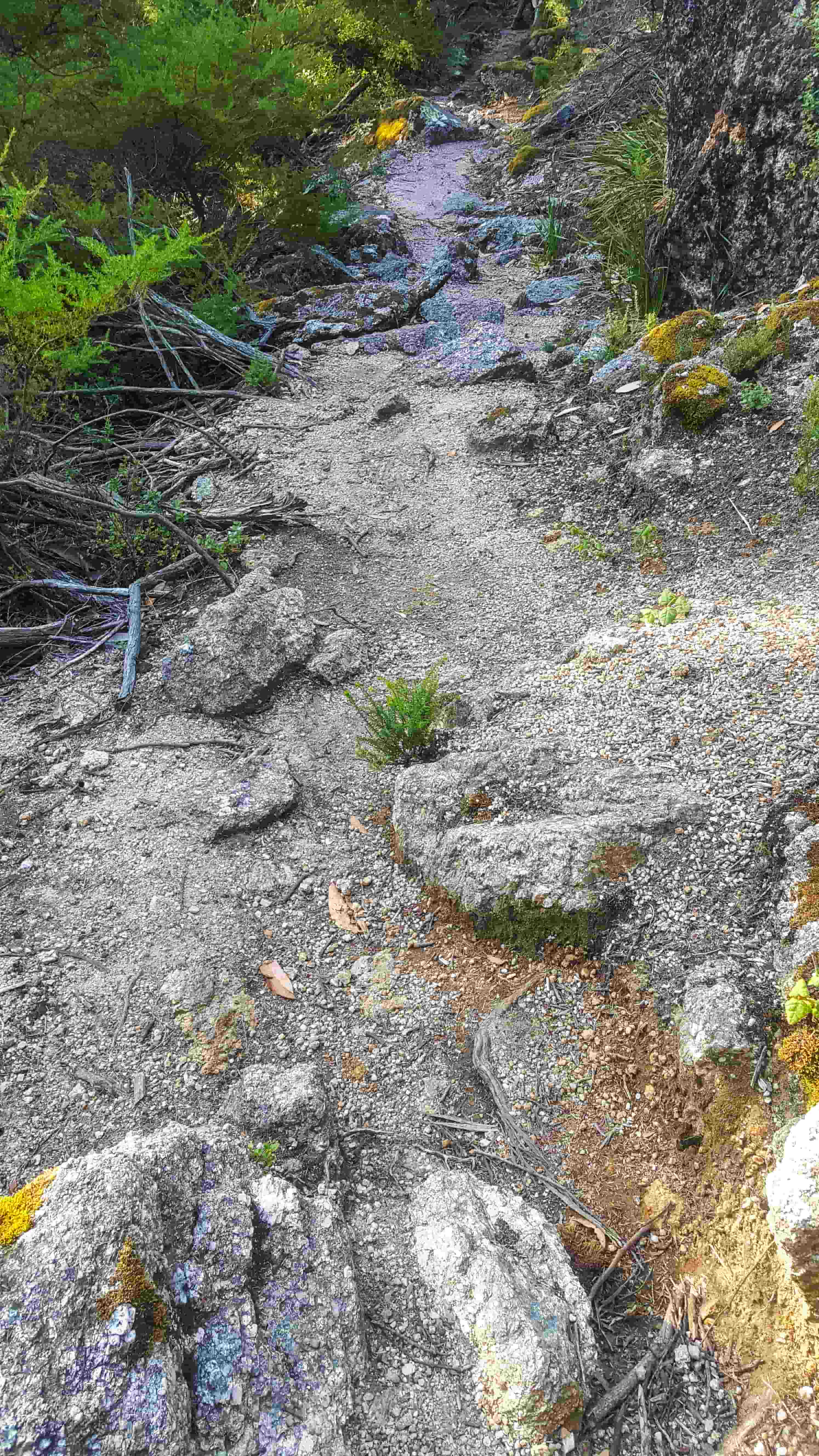
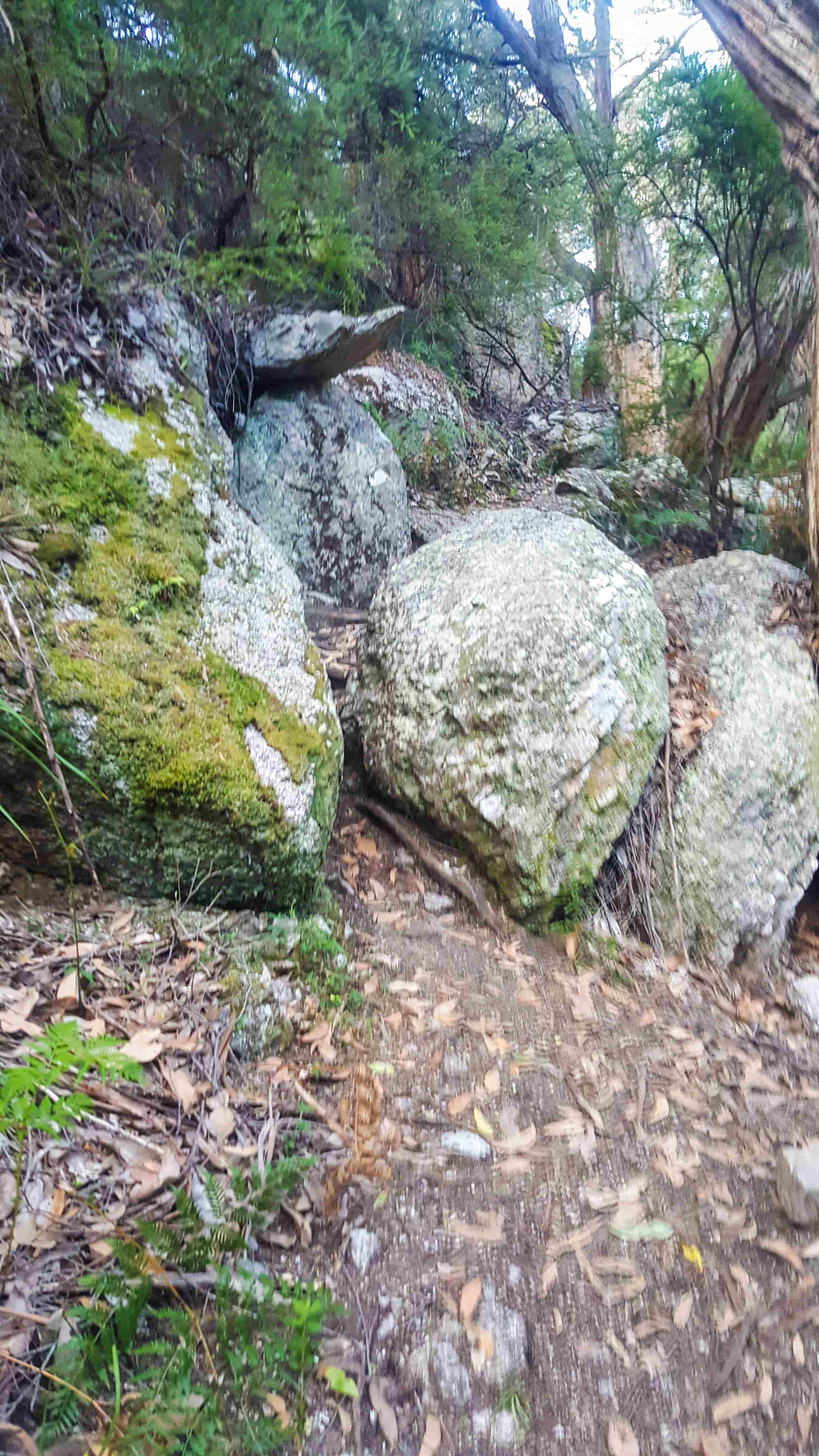
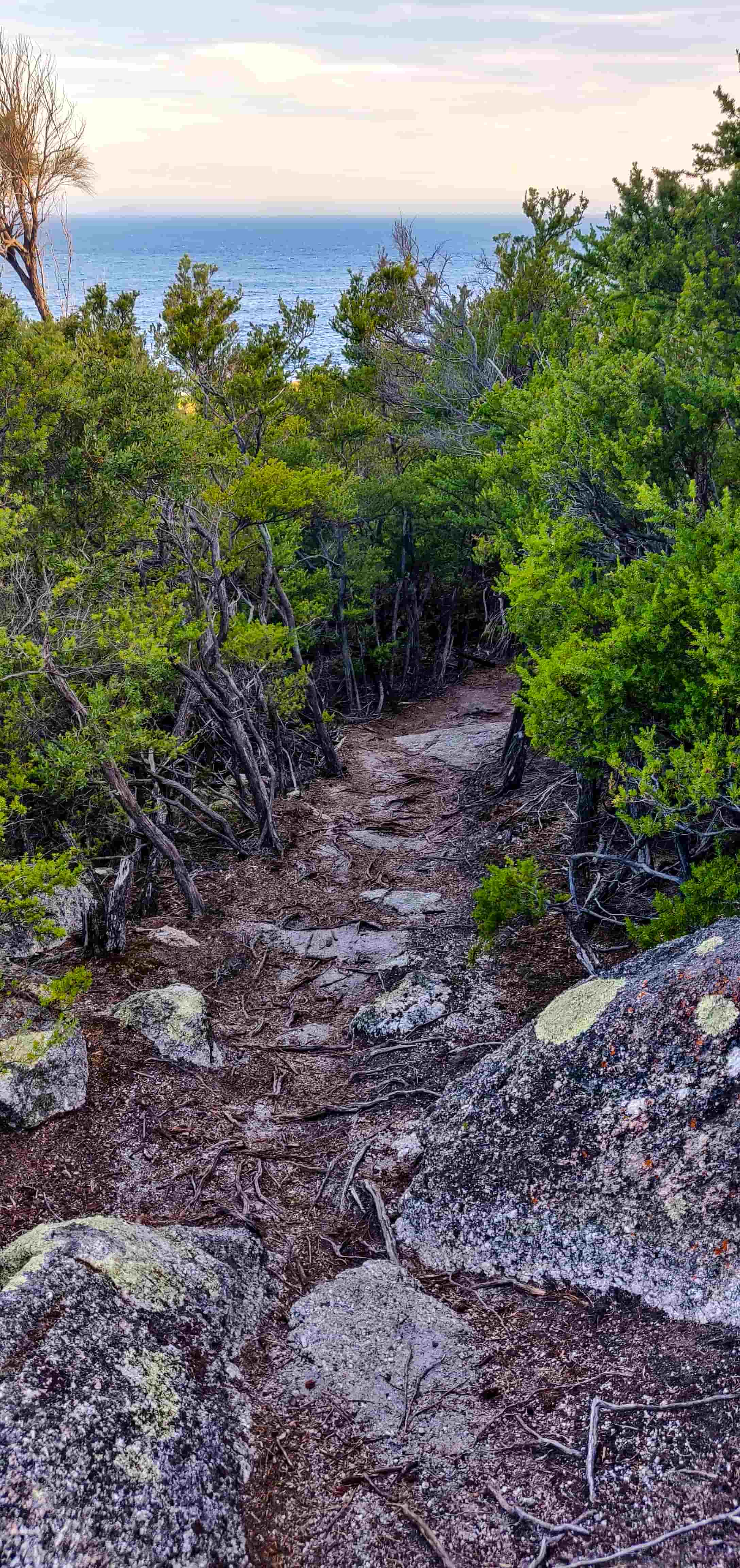
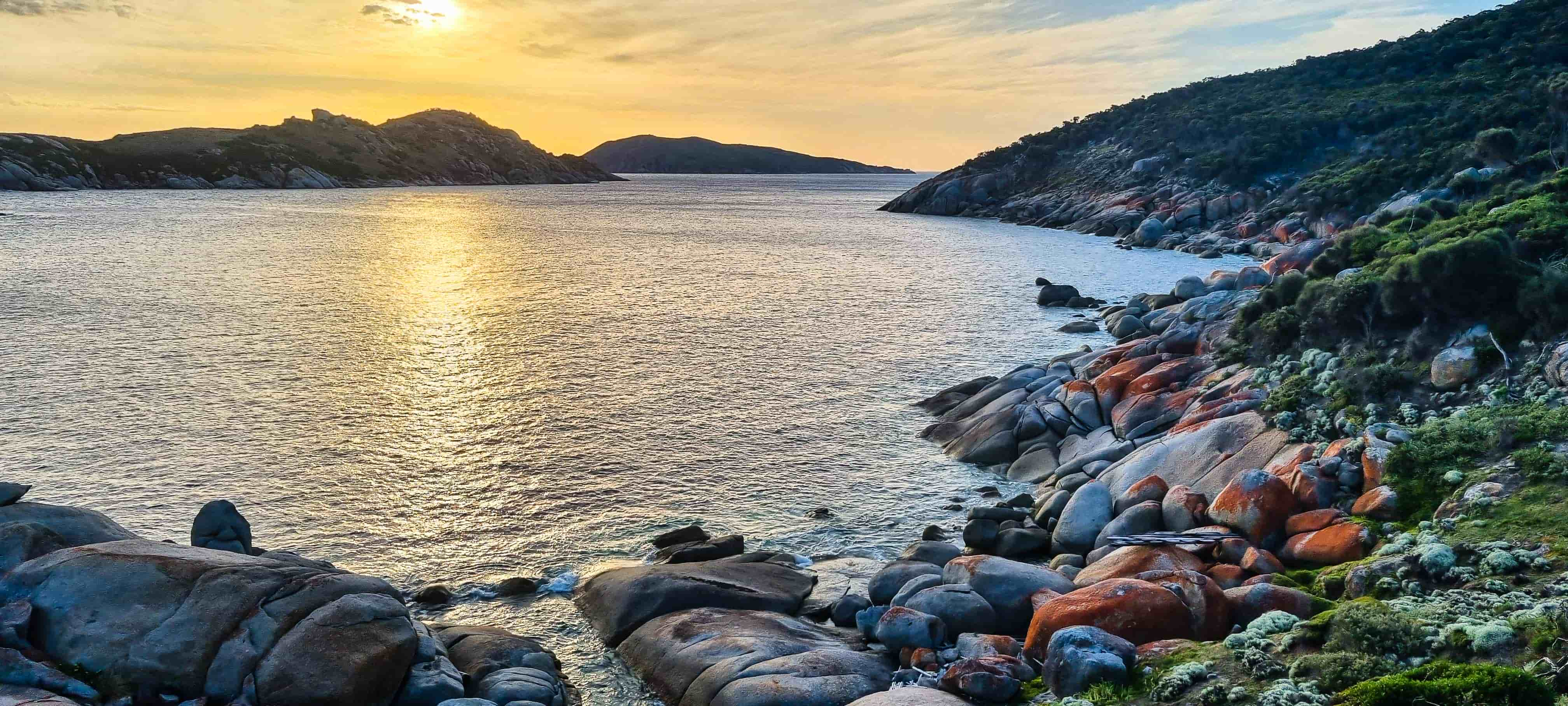
But, we made it! Yay, we’re at the southernmost point of the Australian mainland!!
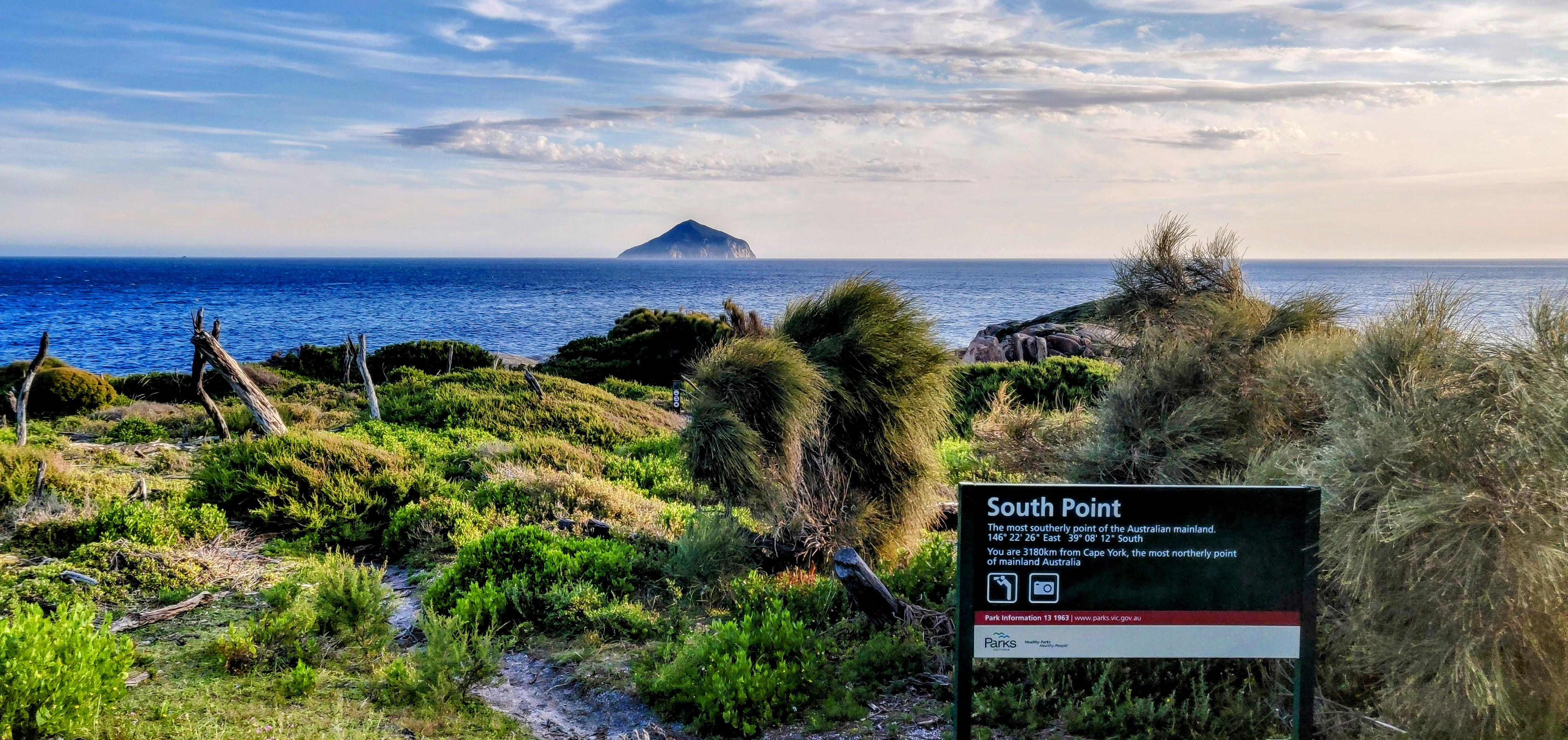
The island that you see in the picture above is Rodondo Island; it is 10km south of South Point and it turns out that it is in Tasmanian waters. So you can very definitely see Tasmania from the tip! After spending some relaxing minutes and watching the sun go down, we started back to our campsite.

The sun set pretty quickly and it was pitch dark everywhere so we had to use our headlights and flashlights for the majority of our return walk to the campsite.
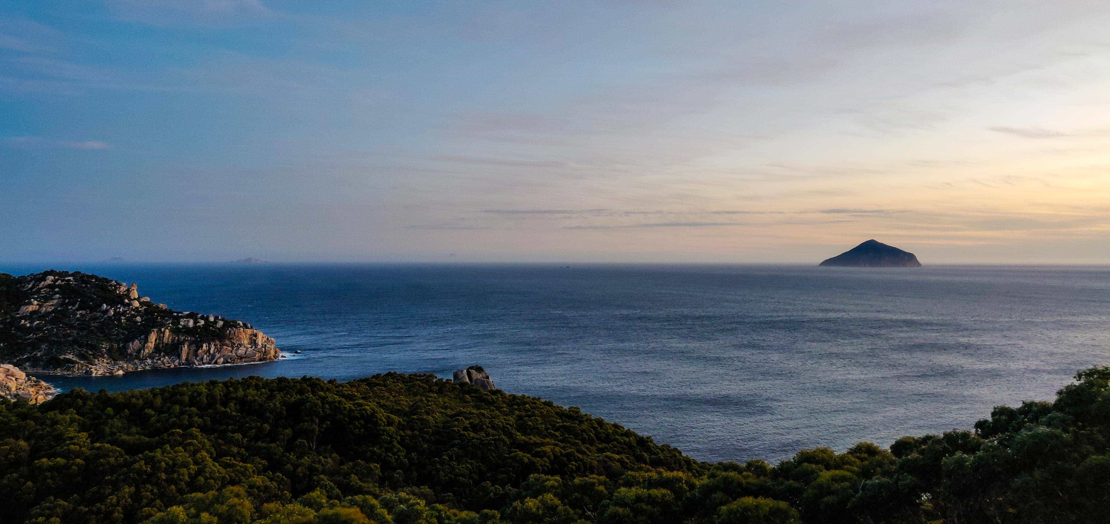
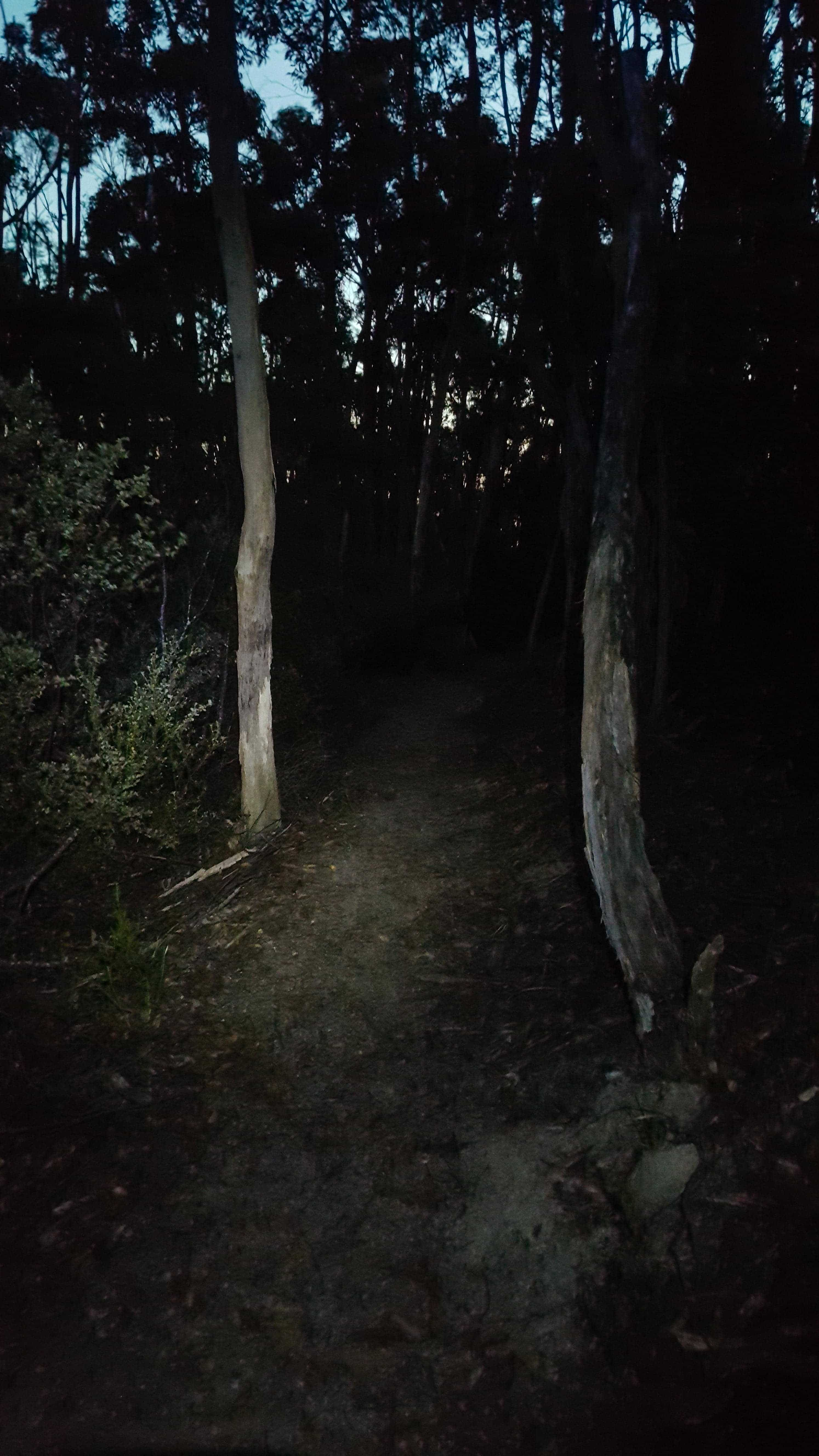
We took 1.5 hours for the onward walk to South Point (of course, time spent for photos!) and slightly over an hour to return to the campsite. We had our dinner on one of the two tables available in the campsite and went to bed straightaway. The night turned a bit chilly later with some light showers every now and then but overall everyone had a comfortable sleep.
Day 2
Good Morning everyone, it’s time to commence our return journey! But before that, make sure to spend some time in the campground itself enjoying what the nature has to offer. The kids enjoyed playing in the creek for quite a good amount of time!
Roaring Meg to Halfway Hut (via the walking track)
We decided to take the walking track from Roaring Meg to Halfway Hut for our return walk instead of following the vehicle track and it turned out to be a great decision. While the vehicle track would have been a steep uphill for the return walk, the walking track was much easier to walk through so we strongly recommend taking the walking track for your return walk. There were few instances where the path was very muddy from the previous night’s rain and uneven that we had to tread very carefully. You may want to take the vehicle track instead if there were heavy rain previously or if it’s raining during the walk.
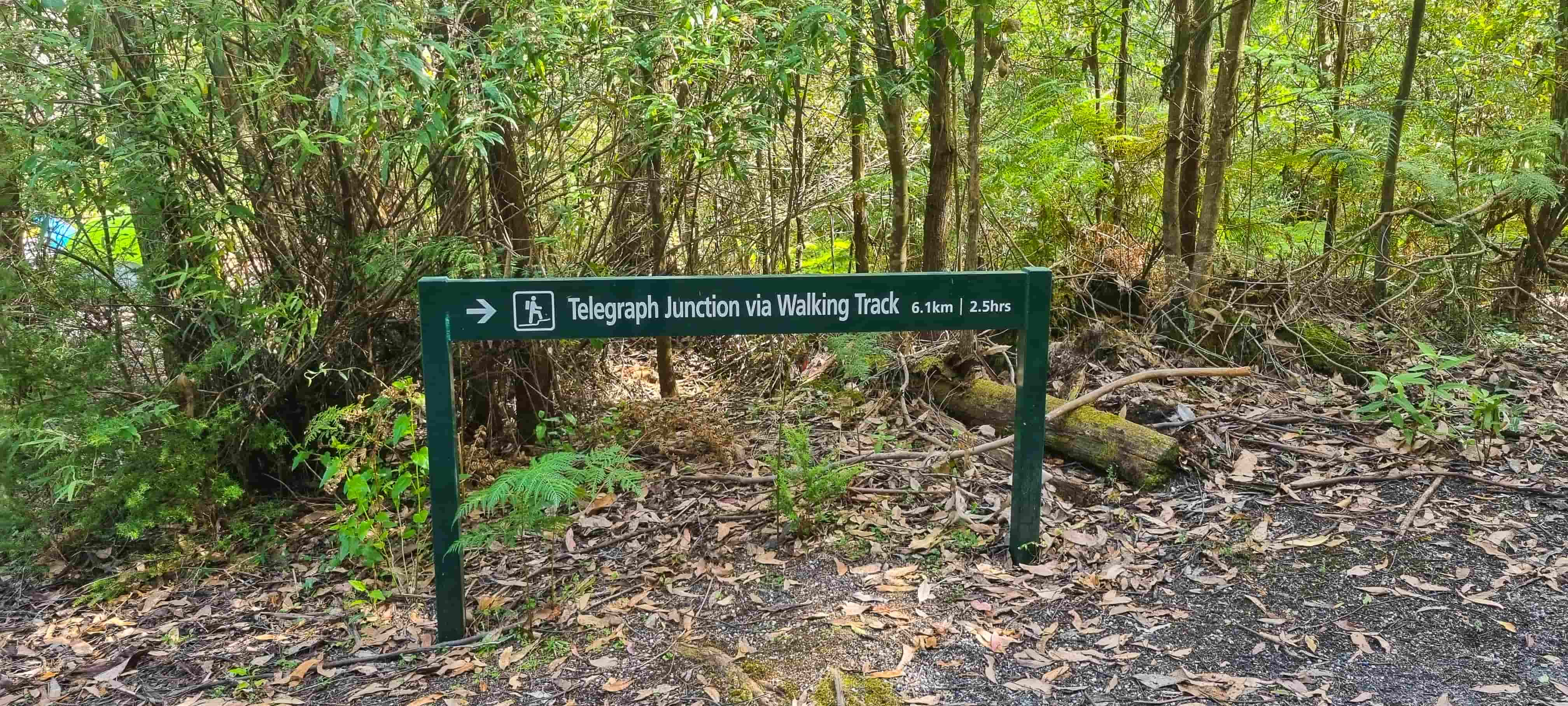
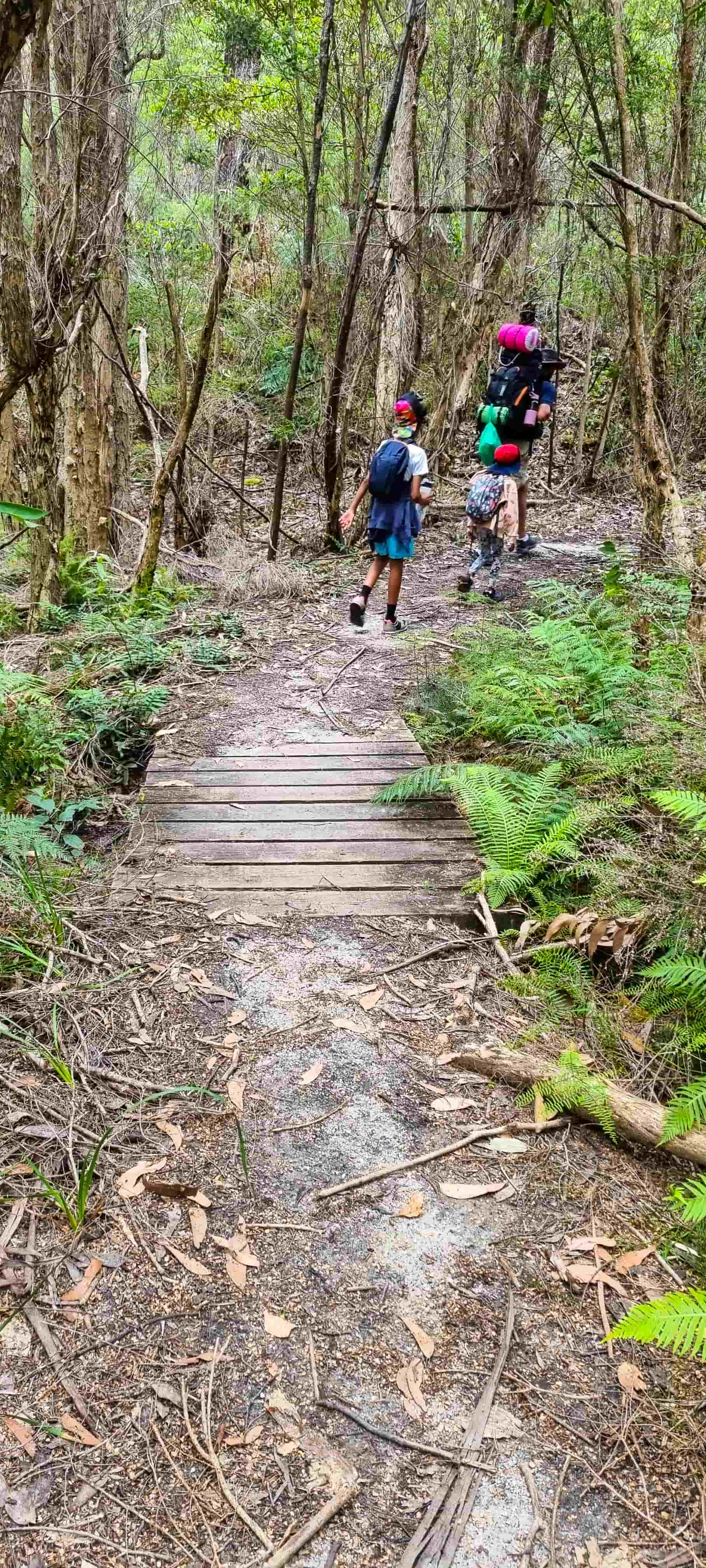
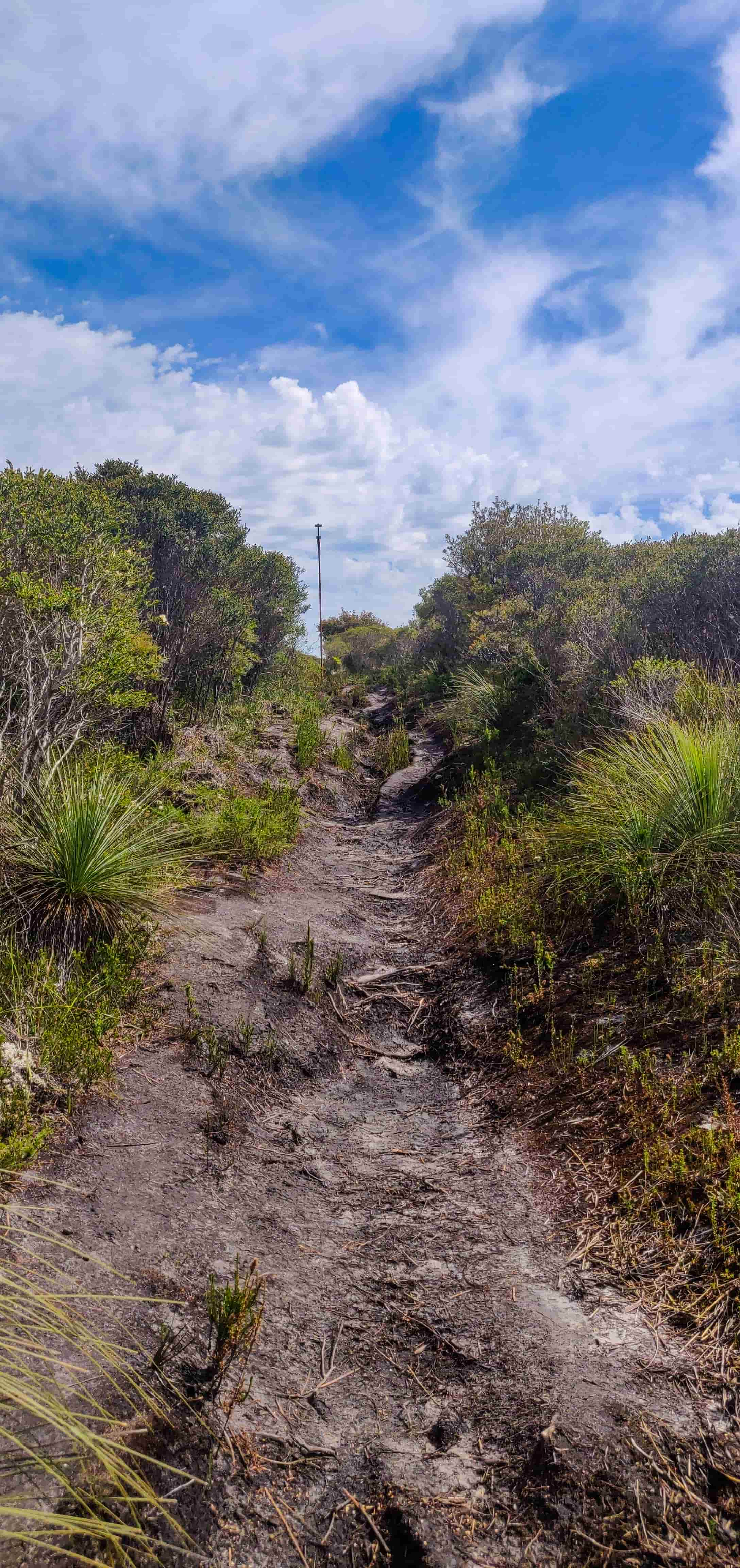
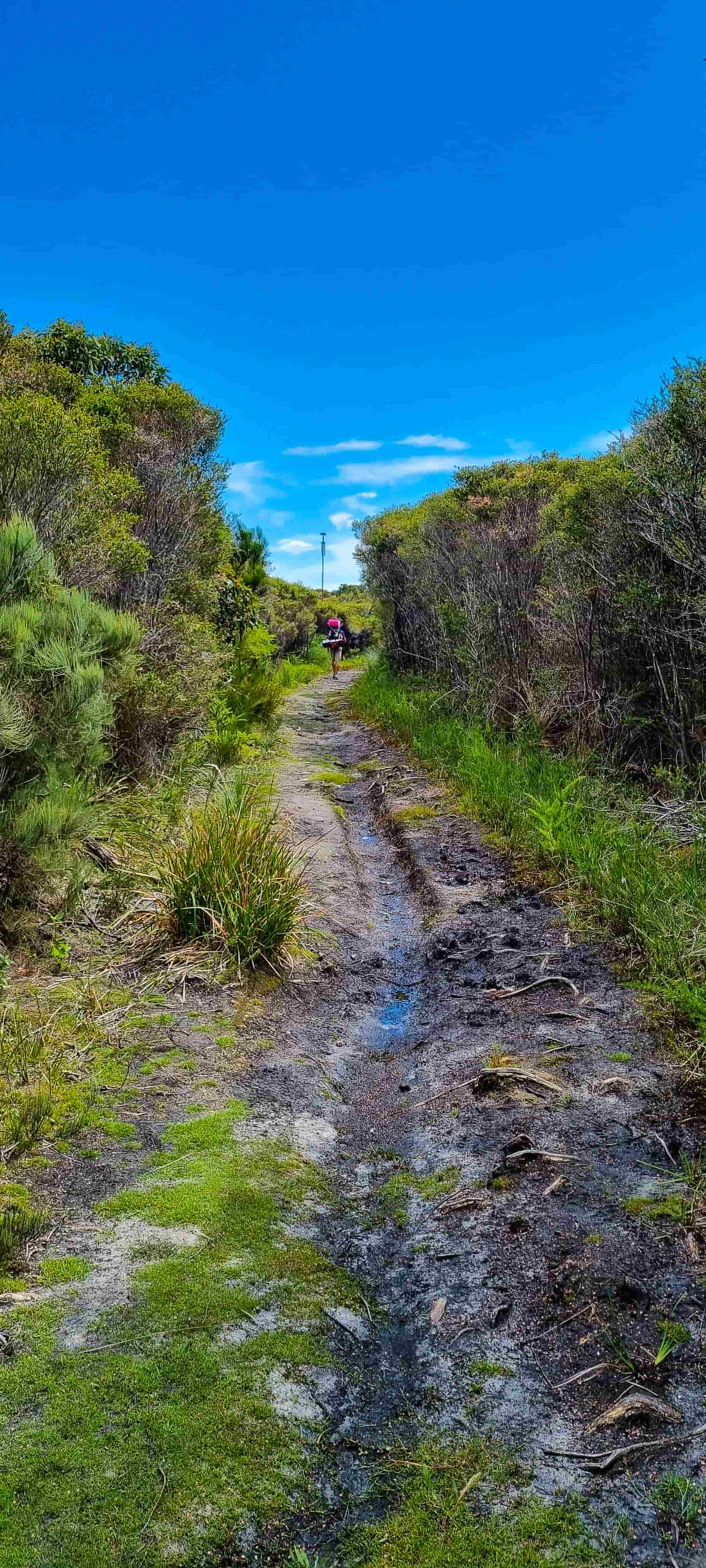
We comfortably reached Halfway Hut and had our lunch there. When we resumed our walk from Halfway Hut, it started raining heavily so apparently we ended up using our ponchos as well, which was the only item we didn't use from our pack until then :). The rain accompanied us until the Telegraph junction and the kids were so happy walking in the rain.
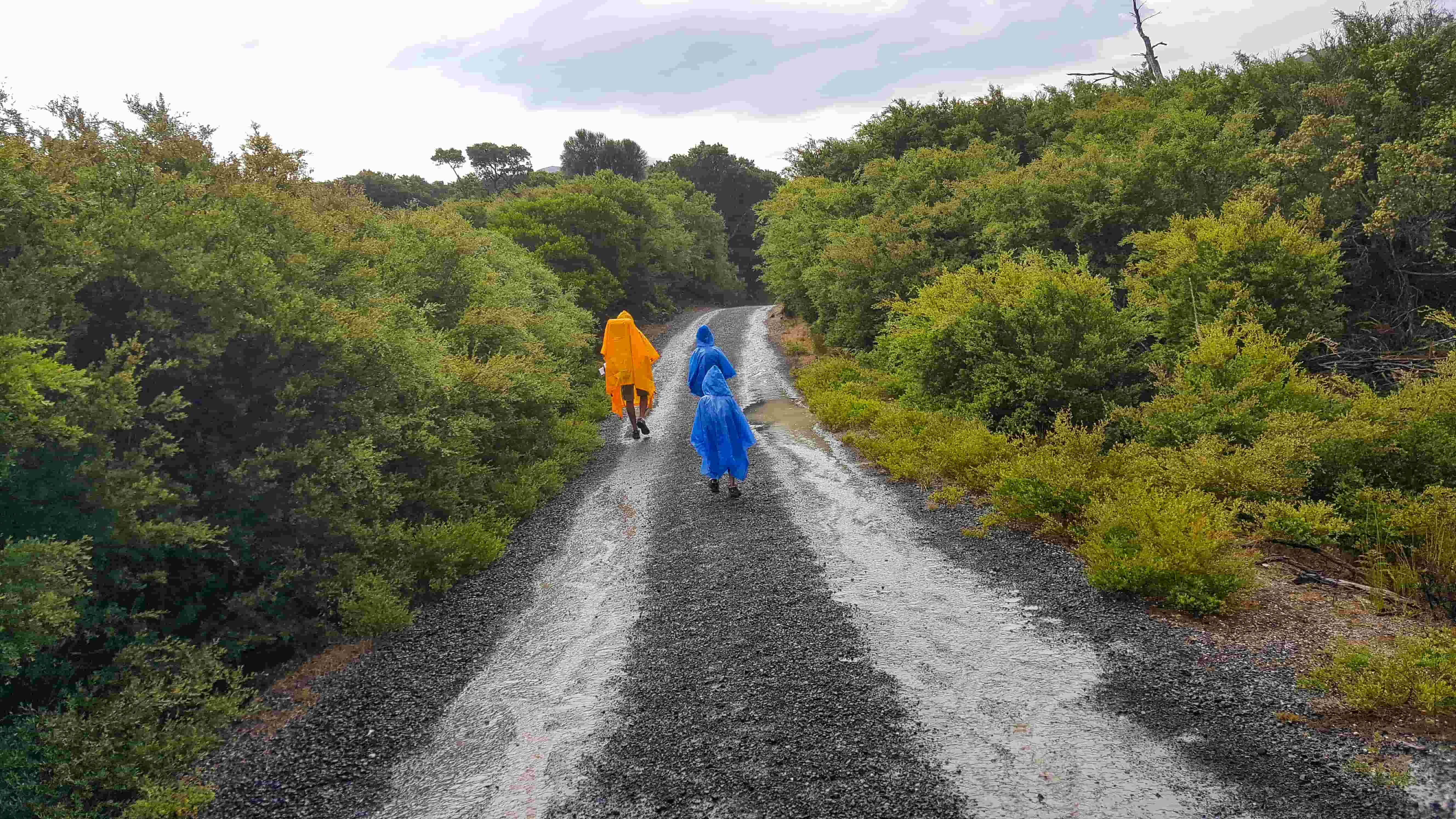
After few short breaks throughout, we finally reached Telegraph Saddle car park. It took 6.5 hours for us to reach Telegraph Saddle car park from Roaring Meg, including lunch break and prep for the rain. While we were waiting for the shuttle bus, we headed to the Telegraph Saddle viewing platform at the end of the car park and were amazed by the spectacular view from the platform.

We then got into the shuttle bus and got dropped off at the overnight hikers car park. From there, we drove back to our hotel for a good night’s sleep.
We figured out later that we had walked a total of 24kms on Day 1 and 16kms on Day 2, totalling 40kms across two days. There was a great sense of achievement for the entire family specifically for the kids who were only 10 and 6 years old. Overall, a fantastic experience that we all will cherish for a lifetime!
Other walks you could do in the region
- When you’re in Wilsons Prom, you can also try to visit the Wilsons Promontory Lightstation which is on South East Point and is also accessible only on foot. The walk to the Lightstation is 19.1 km (one way) from Telegraph Saddle car park or 23.8 km (one way) from Tidal River via Oberon Bay.
- There is also this most popular Southern Prom overnight hike which is a three-day circuit hike starting and finishing at Telegraph Saddle Carpark, including overnight camps at the gorgeous Sealers Cove and Waterloo Bay on the secluded eastern coast of the Prom. We will definitely be trying these walks as well in near future; stay tuned for updates!
- Wilsons Promontory also offers a wide range of day walks for all ages and fitness levels, where you can enjoy pristine beaches, temperate rainforest, towering sand dunes and lookouts offering spectacular panoramic views. More details on the day walks can be found in Parks Victoria’s website.
- Even if you weren't able to do the other walks mentioned here due to time constraints, make sure to not miss Squeaky Beach and the Prom Wildlife Walk!
Love our itinerary? Excited to visit South Point? Book your accommodation via Booking.com below at cheaper prices!
This post may contain affiliate links. This means that, at no additional cost to you, we may earn a small commission if you make a purchase through the links provided. These commissions help support our website and allow us to continue sharing our travel experiences. Thank you for your support.
This itinerary is based on our personal experiences and recommendations. All information is provided for general guidance only and may change due to circumstances beyond our control. Travellers are encouraged to independently verify details and make choices according to their own preferences and safety considerations. We do not accept responsibility for any loss, injury, or inconvenience sustained by anyone using our itineraries.

